Playa De Benijo
Playa de Benijo is the Anaga coast's best-known beach, a short drive from Santa Cruz de Tenerife into mountains the laurel forest still covers. This page sets out what the official sources say about the coast, the trail reservation rules that apply in Anaga, the sea conditions, and how Benijo compares with the beaches of the south.
Short answer
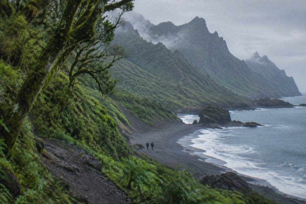
Playa de Benijo lies on Tenerife's north-eastern Anaga coast, within reach of Santa Cruz de Tenerife by road. It is an Atlantic-facing beach inside the Anaga massif, where the weather is cooler and wetter than the south, the sea is open ocean rather than a sheltered bay, and several nearby hiking trails, including El Pijaral, need a reservation on Tenerife ON.
The Anaga massif occupies Tenerife's north-eastern corner, and its coast faces the open Atlantic rather than the sheltered waters behind the south's breakwaters. Playa de Benijo is the best-known beach on that coast, reached by road from Santa Cruz de Tenerife through the laurel-forested mountains that make Anaga a protected rural park. The verified facts on file for this page cover the things a visitor genuinely needs: the reservation rules that now apply to several Anaga trails, the climate and sea-temperature records for this side of the island, the whale-watching rules that govern the waters off the coast, and the honest comparison with the beaches the tourist board describes in the south. What the official pages do not state about Benijo, this page does not invent.
Where Is Playa de Benijo?
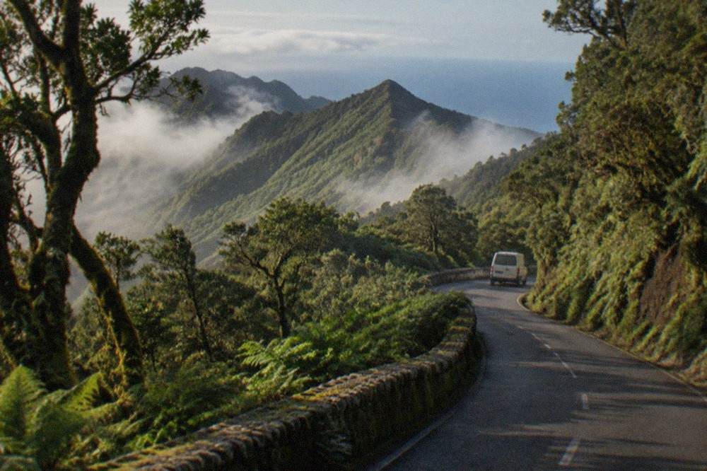
Playa de Benijo sits on Tenerife's north-eastern coast inside the Anaga massif, the mountainous rural park that occupies the island's north-eastern corner and lies within the municipality of Santa Cruz de Tenerife's wider reach, reached by road from the city rather than by boat or by the motorway corridors that serve the south. The drive matters as much as the destination. Anaga's ridges and valleys are the reason the coast feels different: the mountains trap the trade-wind moisture, keep the laurel forest green, and give the beaches below them an ocean swell that the calmer south never sees. For orientation, the island's two airport corridors, the tourist south and the capital, all connect here through the same road network, and the tourist board's own beach pages place every named strand in its municipality, which is how this guide keeps its geography honest.
The practical difference between this coast and the resort zones is scale. The south holds the big beaches, the breakwaters and the promenades; the north-east holds coves, rock platforms and a handful of strands that the Atlantic reshapes with every swell. A visitor basing themselves in the south can still reach the Anaga coast on a day trip, but the drive crosses the island, and the Tenerife Travel Guide planning pages recommend treating Anaga as a full day rather than an add-on.
Why Is the Anaga Coast So Different from the South's Beaches?
The difference is shelter: the south's main bathing beaches sit behind breakwaters that calm the water, while the Anaga coast faces the open Atlantic, and the tourist board's own descriptions draw exactly that line, calling Las Teresitas and Las Vistas golden-sand beaches with calm water behind breakwaters, and describing the south's strands, El Duque grey, Fanabe pale, El Medano fine grey, as engineered or exposed in ways Benijo's coast never is. That is not a value judgement. A family with small children wants Las Vistas in Arona, golden sand and a row of breakwaters, exactly as the tourist board describes it. A swimmer who wants ocean conditions, a wild setting and no promenade wants the north-east. Both are honest answers to different questions.
The sand-colour record is worth setting out plainly, because the internet is full of invented tonnage figures and mislabelled colours. Here is what the tourist board actually says, beach by beach.
| Beach | Tourist board's description | Municipality |
|---|---|---|
| Las Teresitas | Golden sand, palm trees, breakwaters that calm the water | Santa Cruz (San Andres) |
| Las Vistas | Golden sand, calm behind a row of breakwaters | Arona |
| Playa del Duque | Grey sandy beach | Adeje |
| Fanabe | Pale sand | Adeje |
| El Medano | Fine grey sand, under Montana Roja | Granadilla de Abona |
| El Bollullo | Black sand at the foot of a cliff | La Orotava |
Notice what the table does not contain: a Sahara sand figure for Las Teresitas. The official page says only golden sand, palms and breakwaters, and no sourced tonnage exists in the verified record, so none appears here. The same discipline applies to Benijo: the tourist board's beach pages on file describe the strands above, and this page states only what those pages state.
The comparison matters for planning. Visitors who want the engineered calm of the south can read about Playa de las Teresitas, Playa de las Vistas or Playa del Duque, while those drawn to wilder sand and cliffs can look at Playa El Bollullo in the north or the Anaga coast itself.
Can You Swim at Playa de Benijo?
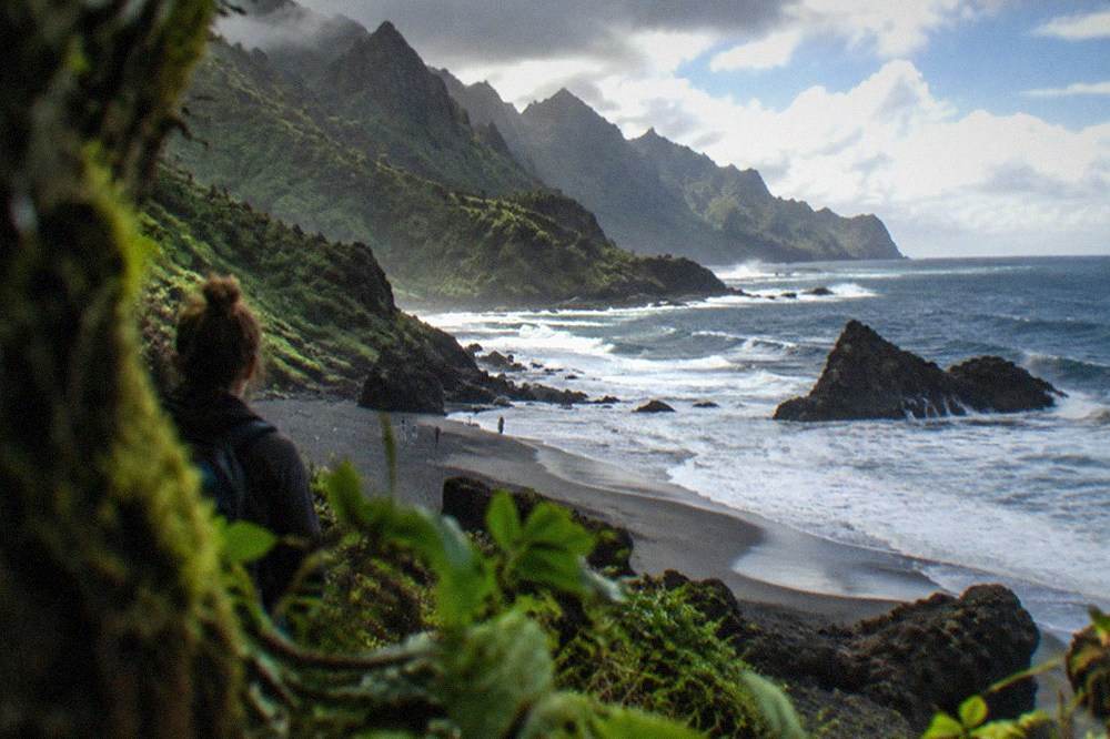
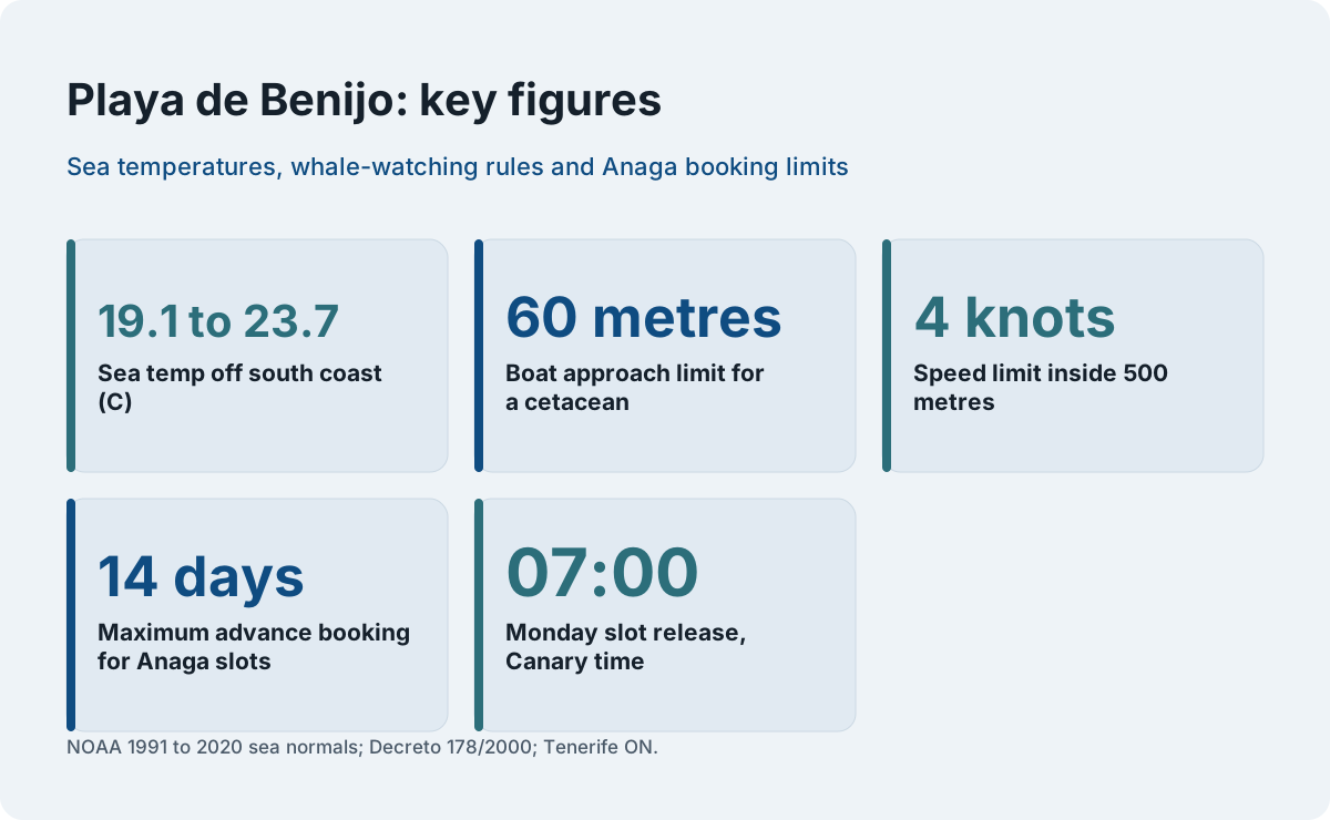
Swimming at Benijo means the open Atlantic, not a sheltered bay: the sea off the south coast averages 19.1 to 23.7 degrees Celsius across the year by NOAA's 1991 to 2020 record, and the Anaga coast adds ocean swell, currents and no breakwater, so the tourist board's calm-water descriptions of Las Teresitas and Las Vistas simply do not transfer, and bathers should treat the sea here as unguarded open water. The sea-temperature record is the one hard number that applies, and it is worth reading properly, because it belongs to a different dataset from the air temperatures.
| Month | Sea surface temperature off the south coast (C) |
|---|---|
| Jan | 19.9 |
| Feb | 19.2 |
| Mar | 19.1 |
| Apr | 19.5 |
| May | 20.2 |
| Jun | 21.4 |
| Jul | 22.2 |
| Aug | 23.1 |
| Sep | 23.7 |
| Oct | 23.7 |
| Nov | 22.5 |
| Dec | 21.1 |
Two cautions come with that table. First, the sea figures are NOAA's 1991 to 2020 normals for the water off the south coast; the air normals elsewhere on this page are AEMET's 1981 to 2010 series, and the two periods are never mixed into one claim. Second, temperature is the mildest of the Atlantic's variables here. Swell, wind and current are what actually decide a swimming day on this coast, and no official page on file rates Benijo for bathing safety, so the honest advice is to read the sea on the day and to swim where lifeguarded, engineered beaches exist if calm water is the priority.
The waters off this side of the island are also part of one of the most regulated marine areas in Europe. The whale-watching rules in force off Tenerife, set by Decreto 178/2000, are worth knowing even from a beach: boats may not approach within 60 metres of a cetacean, no more than three boats may sit within 500 metres, craft are limited to 4 knots inside 500 metres, and swimming or diving with the animals is banned within 500 metres. Authorised boats fly the Barco Azul flag. The World Cetacean Alliance designated the Tenerife-La Gomera marine area a Whale Heritage Area in January 2021, citing a unique resident population of pilot whales, bottlenose dolphins and a migration stop for 21 other cetacean species. From a headland on this coast, that regulated ocean is the one in view.
Is Playa de Benijo a Surfing Beach?
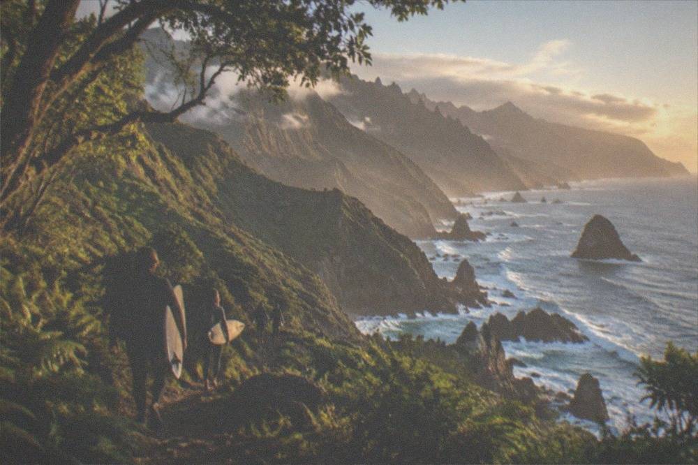
The Anaga coast faces the open Atlantic and carries the swell that comes with it, which is why the north and east of Tenerife are the island's surf-facing shores, but no official page on file rates Benijo as a surf spot with a season, a break type or a difficulty grade, so this page states the ocean fact and leaves the spot-by-spot claims to the people who make them, while pointing beginners somewhere the conditions are taught rather than survived. That last clause is the practical one. An open-ocean beach with no lifeguard description on file is not where a first session belongs, and the verified roster of Tenerife tours includes taught surfing on the south coast, where lessons run with photos included and conditions suit learning.
The honest structure of the decision looks like this: the Atlantic swell that makes the Anaga coast dramatic is the same swell that makes it unforgiving, and a beginner who wants to stand up on a board does that in a taught session on a south-coast beach, then earns the wilder breaks later. The surf-lesson product on this site runs at Playa de las Americas, in the Playa de las Americas area, rated 4.8 from 1,622 reviews on its listing, two hours, photos included, all levels taught. The product card carries the live price; this page never prints one.
What Reservation Rules Apply to Anaga's Trails Around Benijo?
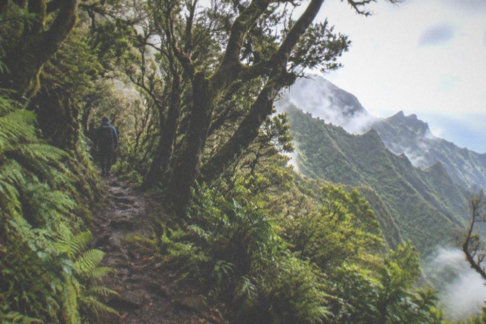
Several Anaga routes require a prior reservation on Tenerife ON: El Pijaral, the Enchanted Forest on trail PRA 72 La Ensillada, Cabezo del Tejo, is mandatory-reservation, with slots released every Monday at 07:00 Canary time, bookable at most 14 days ahead, and company-run tours are not permitted there, while La Asomada to Cruz de Afur also needs prior authorisation, and the Cabildo names two permit-free alternatives, the Bosque de los Enigmas trail and the Pista de Las Hiedras. This is the part of an Anaga day most visitors get wrong, because older guides still describe the Enchanted Forest as open access. It is not. Tenerife ON's own trail page for PRA 72 states the reservation requirement, the Monday 07:00 release, the 14-day window and the ban on organised company tours in plain terms.
The wider reservation list matters too, because Anaga is only the densest cluster of them. The same Tenerife ON page that lists Anaga's authorisations also names Barranco del Infierno, Rambla de Castro and the Masca gorge, each with its own booking route. And one temporary rule cuts the other way: for all other trails on Tenerife ON's network, no authorisation or booking is needed until 31 December 2026, which means most Anaga paths outside the reservation list are walkable on the day.
| Anaga route | Reservation needed? | Where to book | Key rule on file |
|---|---|---|---|
| El Pijaral, PRA 72 La Ensillada, Cabezo del Tejo | Yes, mandatory | Tenerife ON | Slots Mondays 07:00, at most 14 days ahead; no company-run tours |
| La Asomada to Cruz de Afur (Monte Aguirre exclusion zone) | Yes, prior authorisation | Tenerife ON | Listed among spaces requiring prior authorisation |
| Bosque de los Enigmas | No | None | Named by the Cabildo as a permit-free alternative |
| Pista de Las Hiedras | No | None | Named by the Cabildo as a permit-free alternative |
| All other Tenerife ON trails | No, temporary measure | None | No authorisation needed until 31 December 2026 |
Two things this page does not state, because no official page on file states them: a daily quota for El Pijaral, and whether its reservation carries a charge. A reader planning that walk should read the Tenerife ON trail page for the current terms, and the same goes for the no-show rules, which on comparable trails can bar a user from new applications for three months.
What Is the Weather Like on the Anaga Coast?
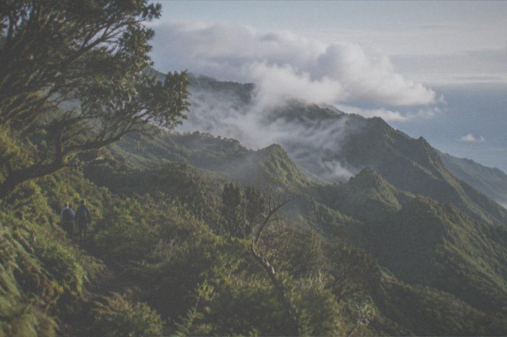
AEMET's 1981 to 2010 normals for Santa Cruz de Tenerife, the nearest published station record on file, show a mean of 18.2 degrees Celsius in January rising to 25.5 in August, with rain concentrated between October and March, and the mountains of Anaga sit cooler and wetter than that coastal reading because altitude, not latitude, is what divides Tenerife's climates, as the Izana station on the Teide ridge at 2,369 metres demonstrates with January means of 4.3 degrees and 47 mm of rain. The practical reading for a beach day at Benijo is therefore two forecasts in one: the coastal strip is mild year-round, and the road in climbs through cloud the coast may not have. AEMET's Santa Cruz series is the honest proxy for the shore.
| Month | Mean daily max (C) | Mean daily min (C) | Rain (mm) | Rain days of 1 mm or more | Sunshine hours |
|---|---|---|---|---|---|
| Jan | 21.0 | 15.4 | 32 | 4.2 | 178 |
| Feb | 21.2 | 15.3 | 35 | 3.8 | 186 |
| Mar | 22.1 | 15.9 | 38 | 3.8 | 221 |
| Apr | 22.7 | 16.5 | 12 | 2.4 | 237 |
| May | 24.1 | 17.8 | 4 | 0.9 | 282 |
| Jun | 26.2 | 19.5 | 1 | 0.2 | 306 |
| Jul | 28.7 | 21.2 | 0 | 0.0 | 337 |
| Aug | 29.0 | 21.9 | 2 | 0.3 | 319 |
| Sep | 28.1 | 21.7 | 7 | 0.9 | 253 |
| Oct | 26.3 | 20.3 | 19 | 3.1 | 222 |
| Nov | 24.1 | 18.4 | 34 | 4.7 | 178 |
| Dec | 22.1 | 16.6 | 43 | 5.4 | 168 |
That is the capital's coastal record, 226 mm of rain across the year on AEMET's own annual figure, and it is the mildest of the island's published stations. The Tenerife North Airport station at Los Rodeos, 632 metres up, records 520 mm a year on 64 rain days, which is the clearest single illustration of how quickly the island's weather changes with height. The Anaga road climbs through exactly that gradient. A visitor should read a coastal forecast and a mountain forecast, and expect the second to be the wetter of the two.
The chart above plots the two variables that decide an Anaga day: rainfall and sunshine, month by month, from the Santa Cruz coastal record. The pattern is the trade-wind pattern, dry and bright from June to August, wetter and cloudier from November to February, with the mountain cloud layer doing its own thing above the shore. The Tenerife Weather by Month guide carries the full island picture, and the Santa Cruz de Tenerife area page covers the city most Anaga days start from.
How Do You Get to Playa de Benijo?
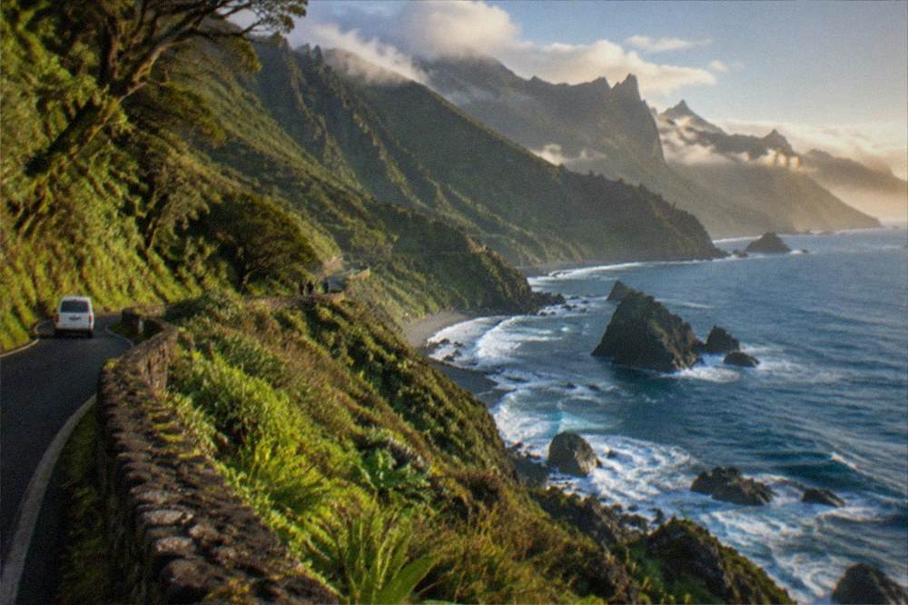
Playa de Benijo is reached by road from Santa Cruz de Tenerife, and visitors arriving by air land at one of two airports, Tenerife South, where TITSA's own airport page lists lines 10, 40, 711, 343 and 415, or Tenerife North, where it lists lines 20, 30 and 343, and from either side the island's bus network sells visitors a EUR 10 day travelcard or a EUR 50 seven-day travelcard, because the free-pass subsidy on file applies only to resident passes and never to tourists. That last point is worth its own sentence, because half the internet claims otherwise. The Canary government's 100% subsidy confirmed for 2026 covers resident passes on personalised Ten+ cards; visitors pay the published visitor products, single tickets priced by route, the EUR 10 day travelcard or the EUR 50 seven-day travelcard, sold at airport ticket machines.
No TITSA line number for Benijo itself appears in the verified record, so this page prints none. The honest instruction is to plan the route on TITSA's own journey information, and to expect that a car gives the Anaga coast the flexibility its roads reward, since the ridges carry several viewpoints a bus timetable serves thinly. The driving in Tenerife guide covers the road rules, and the Getting Around Tenerife page compares the options.
One transport fact does apply to the sea off this coast: the ferry network runs from Los Cristianos to San Sebastian de La Gomera in 50 minutes, which is the neighbouring-island context for a coast that faces the channel between Tenerife and La Gomera, the same waters the Whale Heritage Area covers.
Which Other Tenerife Beaches Compare with Playa de Benijo?
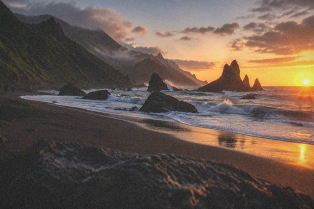
The closest comparisons on file are the island's other unengineered strands: Playa El Bollullo in La Orotava, black sand at the foot of a cliff, and the north-coast coves that share the Atlantic exposure, while the opposite pole is the south's breakwater beaches, Las Teresitas with its palms, Las Vistas with its calm water, and El Medano, fine grey sand under Montana Roja, which the tourist board groups as the wind-and-surf strand of the south. Choosing between them is a choice of sea, not of sand. The table below sets out the decision as the official descriptions allow it.
| If a visitor wants | The official record points to | Why |
|---|---|---|
| Calm, sheltered swimming | Las Vistas, Arona | Golden sand, calm behind a row of breakwaters |
| A city beach near the capital | Las Teresitas, San Andres | Golden sand, palms, breakwaters that calm the water |
| A south-coast base beach | Playa del Duque or Fanabe, Adeje | Grey and pale sand respectively, per the tourist board |
| Wind and board sports in the south | El Medano, Granadilla de Abona | Fine grey sand under Montana Roja |
| Wild Atlantic and cliffs | El Bollullo, La Orotava, and the Anaga coast | Black sand at the foot of a cliff; open-ocean coast |
The deeper comparison, for readers still choosing where to base, is the one this site's Tenerife North vs South guide runs in full: the south holds most of the island's lodged tourists, the north and the Anaga coast hold the island's wilder scenery, and a week split between the two is the standard answer for visitors who want both. The 2025 tourist-board balance records 5,451,268 tourists lodged in hotels and apartments that year, with the UK the largest source market at 2,057,896 of those lodged guests, and almost all of that demand sits on the south coast, which is exactly why the Anaga side stays quiet by comparison.
What Else Is Worth Combining with a Benijo Day?
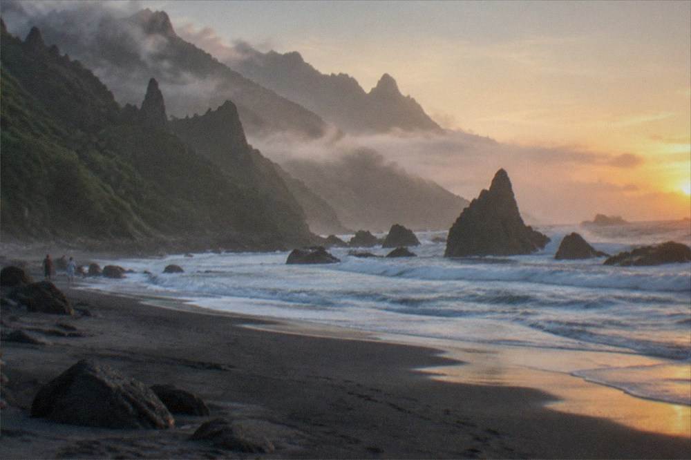
A Benijo day combines naturally with the Anaga village roads, the headland viewpoints, and the coast's fish restaurants, and on the verified-attractions list the nearby standouts are Punta de Teno on the island's far western tip, the Los Gigantes cliffs that tower up to 600 metres in the tourist board's words, and, back towards the city, the Auditorio de Tenerife, Santiago Calatrava's white trencadis concert hall inaugurated in 2003, plus the Mercado de Nuestra Senora de Africa, the market hall that anchors Santa Cruz's food shopping. None of those is in Anaga itself, but all sit inside a day's loop from the coast, and the order that works is the one that puts the mountains in the morning, before the cloud lifts off the ridge, and the city in the evening.
For visitors planning a longer stay around this coast, the 3 Days in Tenerife and 7 Days in Tenerife itineraries both route an Anaga day, and the rainy day in Tenerife page is worth saving, because the same trade-wind cloud that keeps the laurel forest green is what occasionally soaks a beach plan. The Punta de Teno page covers the western headland, and the Los Gigantes cliffs page covers the far side of the same Teno massif.
A final planning note on money, since Anaga days often end in a village restaurant: Tenerife has no tourist tax, no official page read shows a per-night lodging tax in force or approved, and the charges that do exist are the per-booking trail fees on Teide, the Masca ticket and the Barranco del Infierno ticket, none of which applies to a beach. The sales tax here is IGIC, not VAT, with the tax agency's table showing 7% on everyday goods.
Common Questions About Playa de Benijo
Is Playa de Benijo good for swimming?
The Anaga coast faces the open Atlantic with no breakwater, so conditions depend entirely on the day's swell and wind. The tourist board's calm-water descriptions apply to engineered beaches such as Las Teresitas and Las Vistas, not to this coast. Sea surface temperature off the south coast runs from 19.1 to 23.7 degrees Celsius across the year in NOAA's 1991 to 2020 record, and bathers here should treat the water as unguarded open sea.
Do I need a permit to hike near Playa de Benijo?
Most Anaga trails need no authorisation until 31 December 2026 under Tenerife ON's temporary measure, but El Pijaral, the Enchanted Forest on trail PRA 72, requires a mandatory reservation released every Monday at 07:00 Canary time and bookable at most 14 days ahead, with company-run tours not permitted. La Asomada to Cruz de Afur also needs prior authorisation. The Cabildo names the Bosque de los Enigmas trail and the Pista de Las Hiedras as permit-free alternatives.
Is public transport free for tourists in Tenerife?
No. The 100% subsidy confirmed for 2026 applies to resident passes on personalised Ten+ cards only. Visitors pay for single tickets, the EUR 10 day travelcard or the EUR 50 seven-day travelcard, which TITSA sells at airport ticket machines.
How warm is the sea at Playa de Benijo?
No station record specific to Benijo is on file. The nearest published sea series, NOAA's 1991 to 2020 normals for the water off the south coast, runs from 19.1 degrees Celsius in March to 23.7 in September and October. The Anaga coast faces the same open Atlantic, so that range is the honest published guide, and the day's swell matters more than the temperature.
Can I book a tour of the Enchanted Forest?
No. Tenerife ON states that organised tours by companies or legal entities are not permitted on El Pijaral, trail PRA 72. The reservation is personal and made on Tenerife ON, with slots released every Monday at 07:00 Canary time and a booking window of at most 14 days ahead.
Is there a tourist tax to visit the beach?
No. Tenerife has no per-night lodging tax in force or approved on any official page read, and no beach entry charge exists on file. The island's per-booking charges apply only to specific trails: the Teide trails PNT 10 and PNT 07, the Masca gorge ticket and the Barranco del Infierno ticket.