Punta De Teno Lighthouse
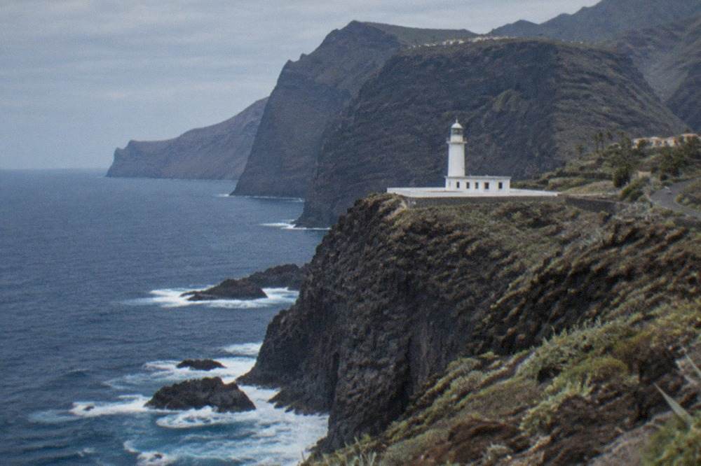
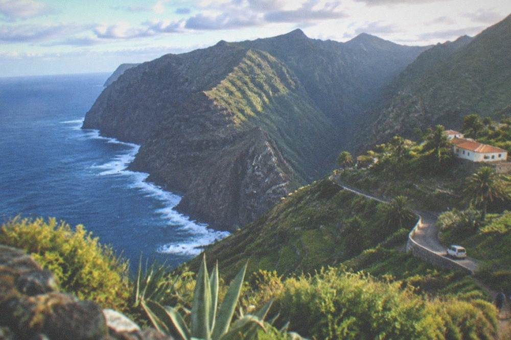
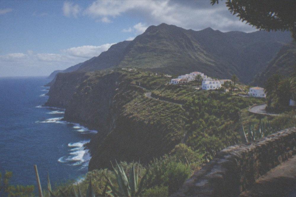
The westernmost point of Tenerife is a low volcanic headland in Teno Rural Park, where a lighthouse looks out over the Atlantic towards La Gomera and the cliffs that run down to Los Gigantes.
Short answer
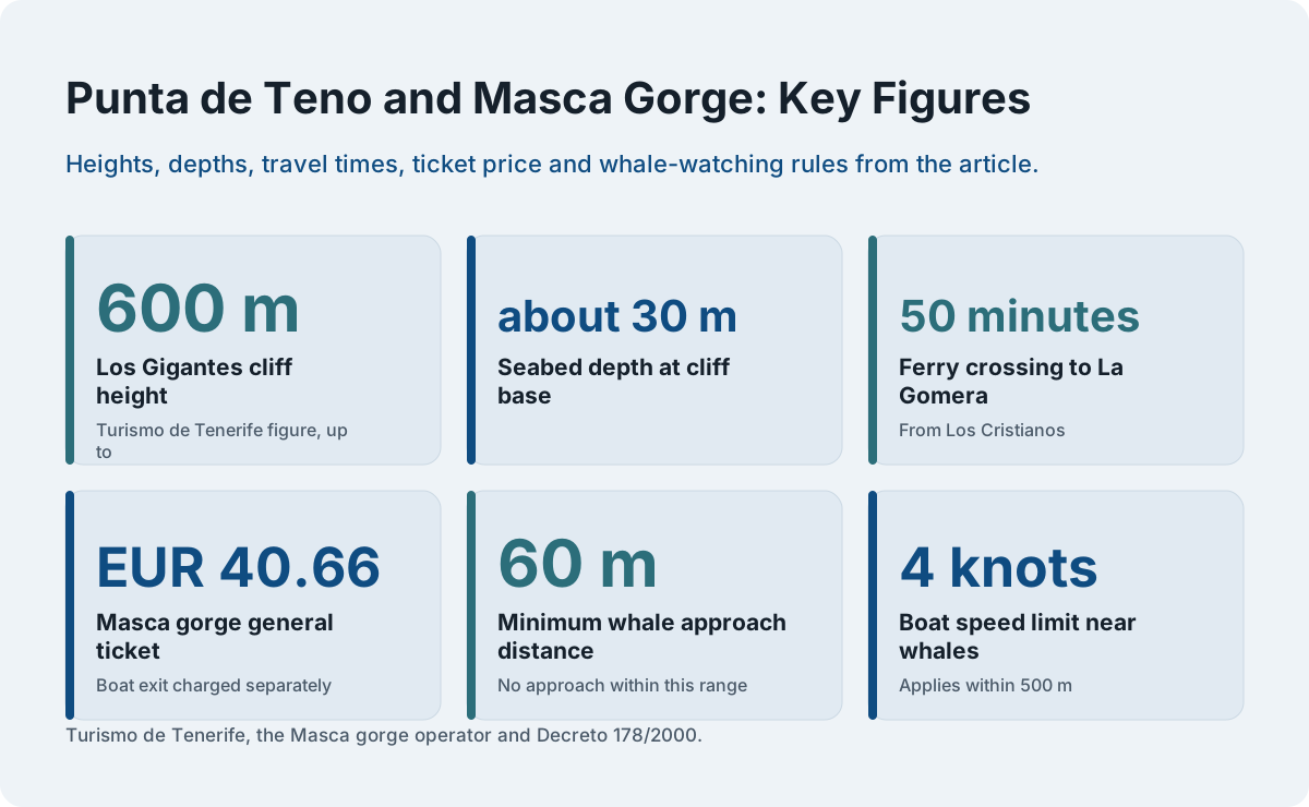
Punta de Teno is the western tip of Tenerife, inside Teno Rural Park, at the end of the same coastline whose cliffs tower up to 600 m at Los Gigantes. It costs nothing to visit the headland itself; the paid parts of this corner are the Masca gorge ticket and the boat trips that pass the cliffs.
Punta de Teno is the westernmost point of Tenerife, a low headland of old volcanic rock inside Teno Rural Park, where a working lighthouse stands above the Atlantic with the silhouette of La Gomera on the horizon. Turismo de Tenerife places the Los Gigantes cliffs, which "tower up to 600 m (1,970 ft) high", inside the same rural park, and the seabed at their foot lies about 30 m deep, which is why the whale and dolphin watching boats of the south-west coast cruise so close to shore here. The headland itself is free to stand on. The money and the planning on this coast go into the two things that sit behind it: the Masca gorge, which now runs on a ticketed, descent-only pilot scheme, and the boat trips that carry the Whale Heritage Area's rules out to sea.
This page lays out what the official sources say about the Teno corner: what the lighthouse headland is, how the coast connects to Los Gigantes and Masca, what the Masca pilot scheme now requires, which rules govern the whale-watching boats, and what the weather does to this exposed north-western shore. Everything below comes from the operators' own pages, from the Cabildo's Tenerife ON platform and from the Canary decree that regulates boat approaches, because this is a corner of the island where the rules changed recently and much of what older guides print is now wrong.
What Is Punta de Teno?
Punta de Teno is the western tip of Tenerife, a rocky headland carrying a lighthouse inside Teno Rural Park, the same protected area that contains the Los Gigantes cliffs, which Turismo de Tenerife says tower up to 600 m high. The headland looks west over the Atlantic towards La Gomera, whose ferry crossing from Los Cristianos takes 50 minutes, and the coastline behind it runs down to the resort of Los Gigantes.
The Teno massif is the oldest part of the island's geology, and the rural park that protects it wraps the whole north-west corner. The tourist board's page for the Los Gigantes cliffs, the park's most famous feature, records both the height figure and the depth of the seabed at their base, about 30 m, which explains the unusual sight of whale-watching boats working within a stone's throw of vertical rock. Punta de Teno sits at the seaward end of this same stretch, a low tongue of lava rather than a cliff, with a lighthouse that still works as an aid to navigation.
The headland is a viewpoint, not a resort. There is no entry fee for the park's open spaces, no ticket for the headland and no booking for the viewpoint itself on any official page this site has read. What a visitor plans for, on this coast, is the road in and the two paid attractions that share it: the Masca gorge and the boat trips out of Los Gigantes and Puerto de Santiago. The rest of this page deals with each in turn.
How Do You Get to Punta de Teno?
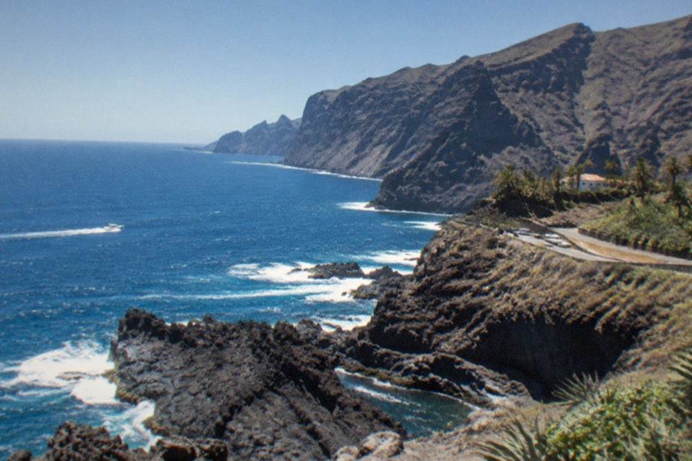
Punta de Teno is reached through the Teno massif on the island's north-west coast, the same corner that contains the village of Masca and the resort of Los Gigantes, and public transport into the area runs on TITSA buses: lines 355 and 365 serve Masca, stop code 4553, and lines 462 and 325 run the return leg from Los Gigantes to Santiago del Teide. There is no tram and no rail on this coast.
The bus numbers above come from Tenerife ON's own page for the Masca gorge trail and from the Masca operator's booking page, and they matter here for a reason beyond Masca itself: the Teno corner is the one part of Tenerife where the bus is not merely an option but, for the gorge, a legal requirement. The operator's page states that the transfer from Santiago del Teide on TITSA line 355 is compulsory for gorge hikers, that private vehicles are refused at the control, and that the transport ticket must be shown. Visitors who are not walking the gorge can still use the same lines to reach the area's villages.
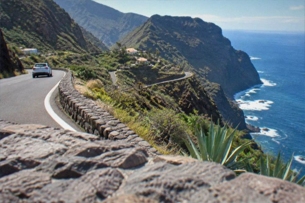
For the headland itself, by car or by coach, the approach runs through the park's western reaches. This site's driving guide and car hire guide cover the island's roads in detail; the one Teno-specific point worth planning around is that the coast road serves a protected rural park, so the drive is slow, scenic and worth doing in daylight. Anyone basing themselves in the south, in Playa de las Américas or Los Cristianos, should treat the Teno corner as a half-day loop at minimum, pairing the headland with Masca village or the Los Gigantes seafront.
For visitors who would rather not drive the loop at all, a full-day guided island tour is the alternative that reaches this coast, and the card below shows what one covers.
Can You Walk the Masca Gorge from the Teno Coast?
The Masca gorge is open under a continuing pilot scheme, descent only, with a mandatory boat exit from Masca bay, and the general ticket costs EUR 40.66 with the boat charged separately. Hikers must arrive on TITSA line 355 from Santiago del Teide and show the bus ticket; arriving by private vehicle means refusal. Bookings are made at caminobarrancodemasca.com, not on Tenerife ON, and only the descent with boat exit is sold in the current phase.
That is the current rule set in full, and it is worth reading closely because older pages get nearly all of it wrong. The gorge is not closed, but it is not free either, and it is not a walk you can do in both directions. The operator's page sets the hours, the quota and the conditions: the trail is open 08:30 to 18:00, entry sessions run 08:30 to 13:00, and places are released at 25 every 30 minutes, with 50 at the 09:00 session. Closed mountain footwear is a condition of entry, and the page says hikers are refused without it even with a valid booking.
| Masca rule | What the operator's page states |
|---|---|
| Status | Open, descent only, under a continuing pilot scheme |
| Booking site | caminobarrancodemasca.com (Tenerife ON links out to it) |
| General ticket | EUR 40.66, boat not included |
| Free entry | Tenerife residents and Canarian mountaineering or caving federation members, paid up front and refunded after the control check |
| Reduced rates | Special rates for Canary residents, under-18s and federated members (no figures published) |
| Arrival | Compulsory TITSA line 355 from Santiago del Teide; private vehicles refused; bus ticket shown at the control |
| Exit | Separate boat ticket, booked beforehand, for no later than 4 hours after the descent slot |
| Return | Not included; TITSA lines 462 or 325 from Los Gigantes to Santiago del Teide |
| Footwear | Closed mountain footwear required, refusal without it |
| Quota | 25 places every 30 minutes, 50 at the 09:00 session |
Two warnings on that page deserve their own paragraph. The operator calls the gorge the place with the most rescues in the Canaries in recent years, which is why the footwear rule and the quota exist. And the pier at Masca bay can close suddenly when the sea turns, and a pier closure voids the ticket for that day, so the boat exit is a plan with weather written into it. Anyone adding Masca to a Teno day should book the earliest session, carry the bus ticket and check the marine forecast the evening before.
What Do You See from the Sea at Los Gigantes?
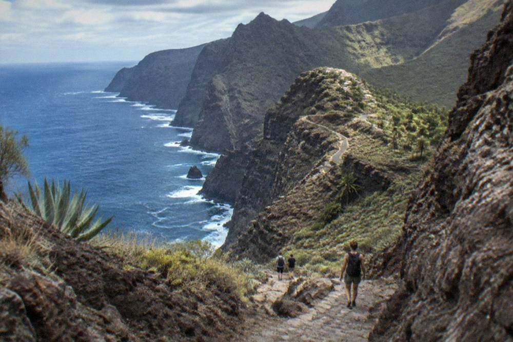
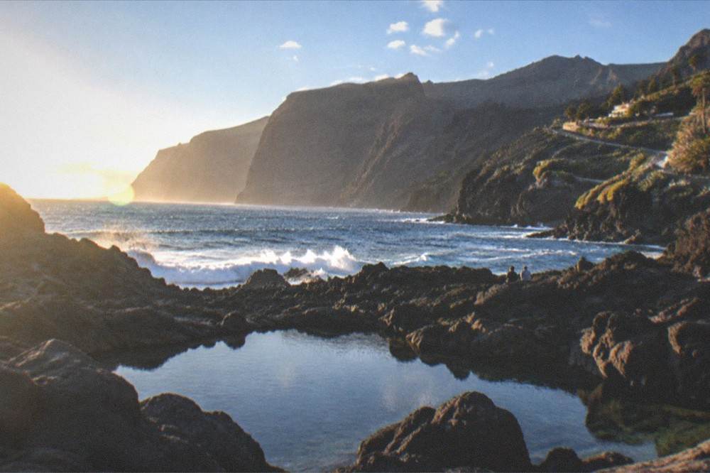
From the water below Punta de Teno the coastline rises into the Los Gigantes cliffs, which Turismo de Tenerife describes as towering up to 600 m high, with a seabed about 30 m deep at their foot, and the same waters host a resident population of pilot whales that the World Cetacean Alliance says lives in the Tenerife-La Gomera Marine Area, designated a Whale Heritage Area in January 2021.
The whale designation is often misattributed. It belongs to the World Cetacean Alliance, not to UNESCO, and the WCA's page describes a "unique resident population of pilot whales", bottlenose dolphins and a migration stop for 21 other cetacean species, inside a Special Area of Conservation. No official count of the pilot whales exists on any page this site has read, so no number is printed here. What is on file, in full, is the law that governs every boat trip on this coast.
| Rule from Decreto 178/2000 | The decree's figure |
|---|---|
| Minimum approach distance to whales | No approach within 60 m |
| Boats near one animal or group | No more than three boats within 500 m |
| Speed within 500 m | 4 knots maximum |
| Swimming or diving near cetaceans | Prohibited within 500 m |
| Feeding, chasing or circling | Prohibited |
| Authorised boats | Must fly the Barco Azul (Blue Boat) flag, issued with the permit and at each annual renewal |
The practical reading of that table is simple: a boat flying the Barco Azul flag is carrying a current permit, and the flag is renewed annually with the permit itself, so it is a live credential rather than a badge bought once. The 60 m rule also means no responsible operator promises an up-close encounter, and the 500 m swimming ban means no trip on this coast offers swimming with whales, whatever a brochure implies. Dolphin and whale watching trips from Los Cristianos, Costa Adeje and Los Gigantes all work under the same decree, and this site's whale watching guide compares what the licensed operators offer.
What Is the Weather Like on the Teno Coast?
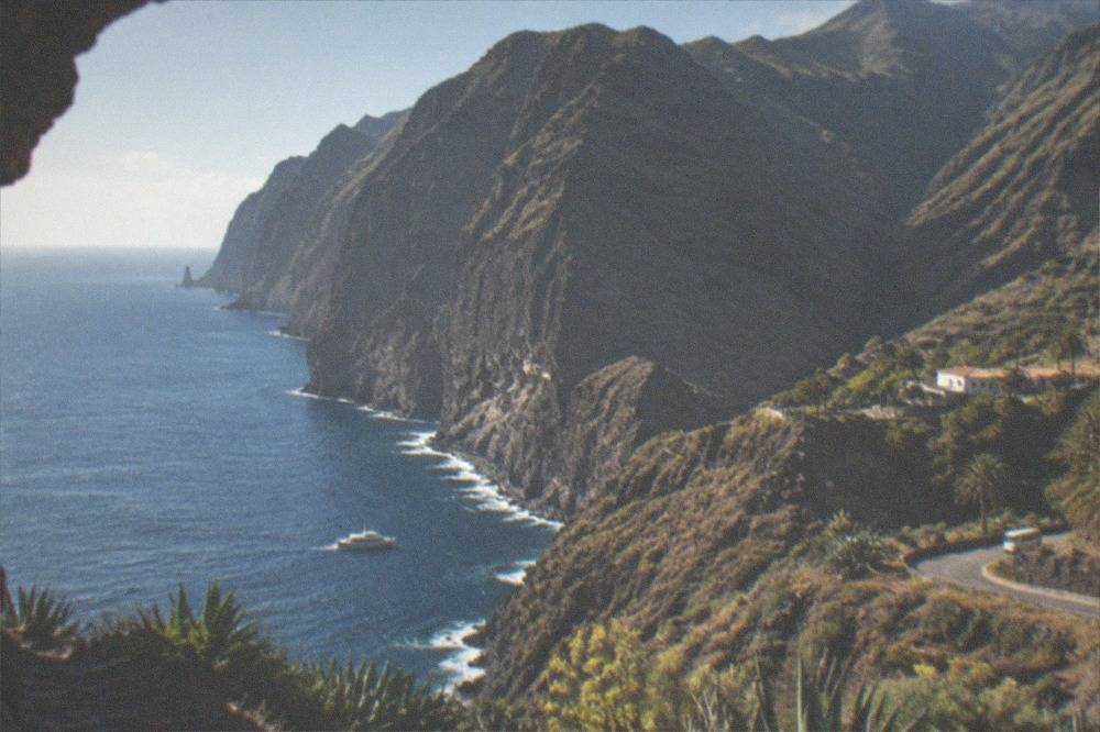
The north-west of Tenerife is the island's wetter, greener side: AEMET's normals for Tenerife North airport, the nearest long-record station at 632 m, show July and August means of 20.2 and 21.2 Celsius against 13.1 and 14.3 Celsius in January and February, with 82 mm of rain in December and 80 mm in January on 8.8 and 7.7 rain days respectively.
Those figures are the airport's, not the headland's, and the honest way to use them is as a regional signal: the Teno massif catches the moisture that the south of the island misses, which is why the gorge is green and the trails can be muddy in winter while the beaches of Adeje stay dry. The contrast within one small island is the single most useful thing a visitor to Tenerife can understand, and this site's month-by-month weather guide breaks it down station by station.
| Month | Mean daily max C | Mean daily min C | Rain mm | Rain days (1 mm or more) |
|---|---|---|---|---|
| Jan | 16 | 10.2 | 80 | 7.7 |
| Feb | 16.7 | 10 | 70 | 7.4 |
| Mar | 18.2 | 10.7 | 61 | 6.8 |
| Apr | 18.5 | 10.9 | 39 | 6.2 |
| May | 20.1 | 12 | 19 | 3.8 |
| Jun | 22.2 | 14 | 11 | 2.4 |
| Jul | 24.7 | 15.7 | 6 | 1.7 |
| Aug | 25.7 | 16.6 | 5 | 1.1 |
| Sep | 24.9 | 16.5 | 16 | 2.8 |
| Oct | 22.5 | 15.2 | 47 | 6.5 |
| Nov | 19.6 | 13.3 | 81 | 8.3 |
| Dec | 17.1 | 11.5 | 82 | 8.8 |
AEMET publishes the annual total for that station as 520 mm of rain on 64 days with 1 mm or more, which is roughly four times the 132 mm the same service records at Tenerife South airport. For the Teno coast specifically the planning consequences are three: the gorge is at its driest and safest from June to August, the pier at Masca bay is most exposed to swell in the winter months, and the cliffs are at their most photogenic when the winter air is clear and the greys of the rock stand against green vegetation. The sea itself stays swimmable all year, with the NOAA 1991-2020 series for the south coast showing sea surface temperatures of 19.1 Celsius in March, the annual low, and 23.7 Celsius in September and October, the annual high. Everything else covered here is indexed on Tenerife Travel Guide.
Which Other Walks and Sights Share the Teno Corner?
The Teno corner holds, besides the headland and the gorge, the village of Masca itself, the resort of Los Gigantes at the foot of the cliffs, the historic town of Icod de los Vinos with its ancient dragon tree further round the coast, and a set of reservation-only trails that Tenerife ON lists for this and the neighbouring Anaga massif, including Barranco del Infierno at EUR 15 for non-resident adults with compulsory advance booking.
Masca village, reached on TITSA lines 355 and 365, is the hamlet that gives the gorge its name, perched on a ridge with the descent falling away below it. It costs nothing to visit the village; the ticket applies to the gorge trail, not the streets. Los Gigantes, at the seaward foot of the cliffs, is the natural base for this coast, with the boat trips leaving from its small harbour, and its area page covers where to stay and eat. Further east along the north coast, Icod de los Vinos holds the Drago Milenario, a National Monument since 1917, about 21 m tall with a trunk base about 17 m round, to which Icod council attributes an age of approximately 1,000 years while the tourist board says over 800: two official estimates, so this site writes 800 to 1,000 years and calls it an estimate.
The reservation-only trails matter to a hiking reader because Tenerife's rules changed in 2025 and 2026. Tenerife ON's list of spaces requiring prior authorisation includes the Masca gorge, Barranco del Infierno, Rambla de Castro, the La Asomada to Cruz de Afur trail in Anaga and the El Pijaral integral reserve, whose "Enchanted Forest" trail PRA 72 needs a Tenerife ON reservation released each Monday at 07:00 Canary time, bookable at most 14 days ahead, with organised company tours not permitted there. As a temporary measure, all other trails on the platform need no authorisation until 31 December 2026. Barranco del Infierno, the closest of these to the Teno side of the north, charges EUR 15 for non-resident adults and EUR 5 for Canary residents, does not admit children under 5, releases 20 people every 30 minutes in the mornings and ends at a waterfall.
| Trail or space | Reservation | Fee for a non-resident adult |
|---|---|---|
| Masca gorge | caminobarrancodemasca.com, descent only with boat exit | EUR 40.66, boat extra |
| Barranco del Infierno | barrancodelinfierno.es, compulsory advance booking | EUR 15 |
| El Pijaral (PRA 72, Anaga) | Tenerife ON, released Mondays 07:00, max 14 days ahead | No fee on file |
| Rambla de Castro | Tenerife ON | No fee on file |
| All other Tenerife ON trails | None needed until 31 December 2026 | None |
Is a Guided Tour the Better Way to See the Teno Coast?
For most visitors, yes, because the Teno corner is the hardest part of Tenerife to reach by public transport and the one where a wrong turn costs half a day: a full-day guided island tour rated 4.5 from 374 reviews covers the loop in 8 hours from the south, and a guided hike above Masca rated 4.9 from 462 reviews runs 5 hours with a picnic included, while the gorge itself must be walked on its own booked terms.
The trade-off is control against logistics. Driving the loop yourself means the headland, the village and the Los Gigantes seafront on your own clock, but the Masca gorge still cannot be added to a driving day, because its rules require the bus arrival and the boat exit. A guided island tour solves the distances: the full-day itinerary pairs the Teno and Teide sides of the island in one loop, which suits a first visit or a short stay. A guided hike above Masca, in the laurel forest on the heights rather than the gorge, suits a visitor who wants the walking without the permit logistics, and it is worth noting that the gorge's own rules are personal: Tenerife ON lists PNT 10-style guided and organised access differently for each space, and for El Pijaral company-run tours are banned outright.
Visitors who prefer to walk with a guide elsewhere on the island can compare routes on the guided hiking tours page, and the hiking guide lists which trails need bookings and which do not. For the Teno corner specifically, the decision is really between three plans: drive the loop and skip the gorge, ride the bus and walk the gorge, or hand the whole day to a tour and walk above Masca instead.
What Else Should You Know Before You Go?
Tenerife has no tourist tax, no free public transport for visitors and no ETIAS in operation: the charges that do exist on this coast are the Masca ticket, the Barranco del Infierno ticket and the Teide trail fees, visitors pay TITSA single fares or the EUR 10 day travelcard or EUR 50 seven-day travelcard, and the EU says ETIAS is not collecting applications while the Entry Exit System has been fully operational since 10 April 2026.
That paragraph compresses the four questions this site's mail most often raises, and each half of it is sourced. No official page read shows a per-night lodging tax in force or approved on Tenerife; the visitor charges that do exist are the per-booking trail fees and the two gorge tickets. The 2026 free-travel subsidy on the buses is real but it is for residents holding a personalised Ten+ card, so a visitor buys singles or a travelcard at the airport machines. And the border rules for UK and US visitors are now the Entry Exit System, which replaced passport stamping on 12 October 2025 and has been fully operational since 10 April 2026, registering a facial image and fingerprints; ETIAS, the separate travel authorisation, is not yet in operation, the EU will announce its start date several months ahead, and its fee is set at EUR 20.
One more Teno-specific note: the sea around the headland is Atlantic open ocean, not a sheltered bay, and the same swell that closes the Masca pier governs the natural pools and swimming spots of the north-west. The natural pools guide covers where the sheltered swimming is, and the honest summary for this coast is that the headland is a place to look at the sea, not to get into it, except from a boat.
How Does the Teno Coast Fit Into a Wider Tenerife Trip?
Most visitors pair the Teno corner with either the Teide national park or the north coast towns: the headland, Masca and Los Gigantes fill a western half-day, Icod de los Vinos and Garachico sit an hour further round, and the whole loop can be done in one long day, which is exactly what the full-day guided island tours sell.
Garachico carries the coast's one piece of history worth knowing before you stand in it: the Trevejo volcano erupted in 1706, destroyed almost the entire town and buried the old port, and the town had been the island's trade hub through the 16th and 17th centuries. The natural pools that visitors swim in today occupy that buried harbour. Pair that with the dragon tree at Icod and the Teno headland and the north-west becomes a single day of volcano, cliffs and old Canarian towns, the itinerary this site's Masca, Garachico and Icod route page maps out.
The other natural pairing is with the island's second great massif, Anaga, on the opposite corner, whose laurel forest and reservation trails mirror the Teno rules. A week-long stay can do both, and the 7 days in Tenerife itinerary shows how. For a shorter stay, choose one massif and do it properly: the Teno corner, with its gorge ticket, its bus rule and its cliffs, repays a full day more than most headline sights on the island.
Common Questions About Punta de Teno
Is Punta de Teno free to visit?
The headland and the lighthouse viewpoint carry no entry fee and no booking on any official page this site has read. The paid items in the same corner are the Masca gorge ticket at EUR 40.66 plus the boat, the Barranco del Infierno ticket at EUR 15 for non-resident adults, and the whale-watching trips, whose prices are shown on their live listings.
Can you walk the Masca gorge both ways?
No. In the current pilot phase only the descent with a pre-booked boat exit from Masca bay is sold, and the operator's page states the return from Los Gigantes to Santiago del Teide is not included; TITSA lines 462 or 325 cover that leg.
How tall are the Los Gigantes cliffs?
Turismo de Tenerife says the cliffs tower up to 600 m high, with the seabed about 30 m deep at their foot. Older guides that print 800 m are repeating a figure the tourist board does not support.
Can you swim with whales off the Teno coast?
No. Decreto 178/2000 bans swimming or diving within 500 m of cetaceans and any approach within 60 m, and authorised boats fly the Barco Azul flag. Watching from the boat is what the law and the licensed operators offer.
Do you need a car for Punta de Teno?
A car or a coach tour is the practical choice for the headland itself, since the Teno corner is the slowest part of the island to reach by bus. For the Masca gorge the opposite applies: hikers must arrive on TITSA line 355 from Santiago del Teide, and private vehicles are refused at the control.
When is the best time of year for the Teno coast?
AEMET's normals for the nearest long-record station show the driest months as June to August and the wettest as November to January, with 81 mm of rain on 8.3 rain days in November. Summer suits the gorge and the boat trips; winter brings green hills and the clearest air for photographing the cliffs.