Playa San Juan and Alcala
Playa San Juan and Alcala sit on Tenerife's southwest coast, a quieter pair of seaside villages between the busy resorts of Costa Adeje and the cliffs of Los Gigantes. This guide reports what the official sources say about the area, the sea, the boat trips that leave nearby, and how to get there without a car.
Short answer
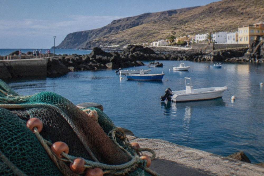
Playa San Juan and Alcala are two neighbouring coastal villages in the southwest of Tenerife, known for calm swimming water, a working fishing harbour and a slower pace than the big resorts to the east. The area sits within easy reach of Costa Adeje and Los Cristianos, and the sea off this coast is a Special Area of Conservation with resident pilot whales.
Playa San Juan and Alcala are two neighbouring coastal villages on Tenerife's southwest shore, sitting between the resort belt of Costa Adeje and the dramatic cliffs of Los Gigantes. The area belongs to the same stretch of coastline that the World Cetacean Alliance describes as part of the Tenerife-La Gomera Marine Area, a designated Whale Heritage Area since January 2021, holding what the Alliance calls a unique resident population of pilot whales alongside bottlenose dolphins. That single fact shapes the area more than any brochure: the sea immediately off this coast is protected, regulated by the Canary government's whale-watching decree, and alive with animals that live here all year.
This page, from the Tenerife Travel Guide editorial desk, reports what the official sources state about the area: the sea temperatures recorded off the south coast, the rules that govern every boat that leaves these harbours, the bus products visitors can actually buy, and how Playa San Juan and Alcala compare with the better-known bases either side of them. Nobody writing this site claims to have stood on the quay; every claim below traces back to a published official page.
Where Are Playa San Juan and Alcala?
Playa San Juan and Alcala are two adjoining coastal villages on Tenerife's southwest coast, west of the main resort belt and east of Los Gigantes, in the municipality of Guia de Isora. They sit on the same shoreline as Costa Adeje and Los Cristianos, roughly ten kilometres of coast apart, and the whole stretch faces the sea channel towards La Gomera, which is why the whale and dolphin watching fleet operates here year-round.
The geography matters more here than in most guides admit. The southwest coast looks out over the channel between Tenerife and La Gomera, and the World Cetacean Alliance records that this marine area holds a resident population of pilot whales, bottlenose dolphins and serves as a migration stop for 21 other cetacean species, all inside a Special Area of Conservation. That is the sea Playa San Juan and Alcala swim in.
Neighbouring bases are close. Playa Paraiso lies immediately east, then Costa Adeje and Los Cristianos beyond it; westwards the coast runs to Puerto de Santiago and the Los Gigantes cliffs, which the tourist board says tower up to 600 m high. For readers comparing the south's two big hubs, the Los Cristianos vs Costa Adeje comparison covers the differences in detail.
What Is the Sea Like Off Playa San Juan and Alcala?
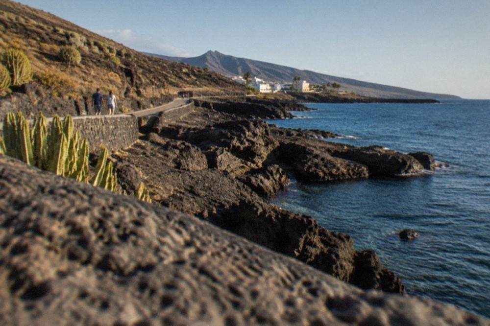
Sea surface temperatures off Tenerife's south coast range from 19.1 degrees Celsius in March to 23.7 degrees Celsius in September and October, according to NOAA's 1991 to 2020 dataset. That means the water never drops below nineteen degrees and stays warmest in early autumn, which is why swimming and boat trips run here in every month of the year rather than in a single season.
The figures below come from NOAA's National Centers for Environmental Information, covering 1991 to 2020. The air normals elsewhere on this site come from AEMET's 1981 to 2010 series, so the two datasets cover different periods and are never mixed.
| Month | Sea surface temperature |
|---|---|
| Jan | 19.9 C |
| Feb | 19.2 C |
| Mar | 19.1 C |
| Apr | 19.5 C |
| May | 20.2 C |
| Jun | 21.4 C |
| Jul | 22.2 C |
| Aug | 23.1 C |
| Sep | 23.7 C |
| Oct | 23.7 C |
| Nov | 22.5 C |
| Dec | 21.1 C |
Two things follow from that table. First, the sea is at its coolest in late winter and at its warmest at the end of summer, so a September or October visit pairs the warmest water with fewer fellow swimmers than August. Second, the narrow band between nineteen and twenty-four degrees means the water is swimmable year-round, which is precisely why the whale-watching fleet, the kayak operators and the dive schools on this coast do not close for winter.
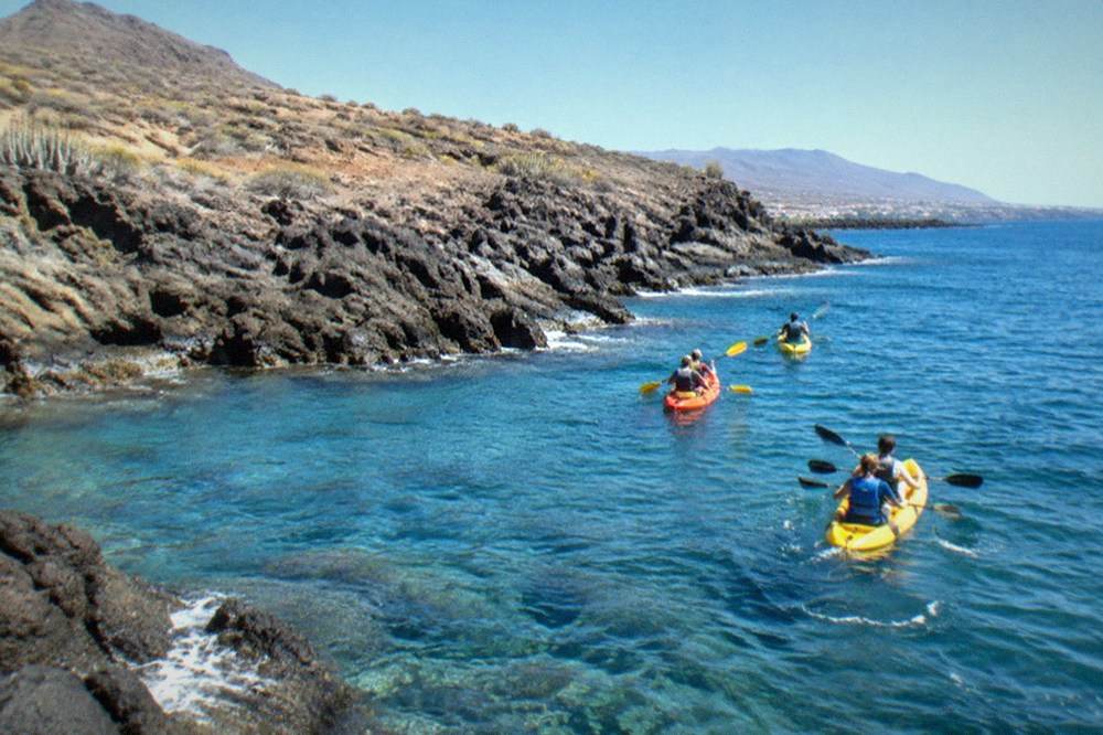
For readers who want to get on this water rather than just look at it, the trips below are the ones that suit this coast: a small-group kayak and snorkel outing, the whale-watching catamarans that work the pilot whale grounds, and the island's headline water park for a change of pace.
What Are the Whale-Watching Rules on This Coast?
Every authorised whale and dolphin boat in Tenerife must follow Decreto 178/2000: no approach within 60 metres of the animals, no more than three boats within 500 metres, a maximum of 4 knots inside that zone, and no swimming, diving, feeding, chasing or circling. Authorised boats must fly the Barco Azul flag, the blue boat flag issued by the Canary tourism department with each permit and at each annual renewal.
The decree, published by the Canary government on 6 September 2000, is the reason this coast's whale watching is regulated rather than a free-for-all. A reader standing at the harbour can check the rules against what a boat actually does.
| Rule from Decreto 178/2000 | Figure |
|---|---|
| Minimum approach distance | 60 m |
| Maximum boats within the zone | 3 |
| Zone radius | 500 m |
| Speed limit within the zone | 4 knots |
| Swimming or diving near animals | Prohibited within 500 m |
| Feeding, chasing, circling | Prohibited |
| Authorised boat flag | Barco Azul, mandatory |
The designation behind the animals is worth being precise about. The World Cetacean Alliance, not UNESCO, designated the Tenerife-La Gomera Marine Area a Whale Heritage Area in January 2021, and the programme is now called Whale Heritage Areas. No official whale population count exists in the sources this site holds, so none is printed here: the Alliance's own wording is a "unique resident population of pilot whales".
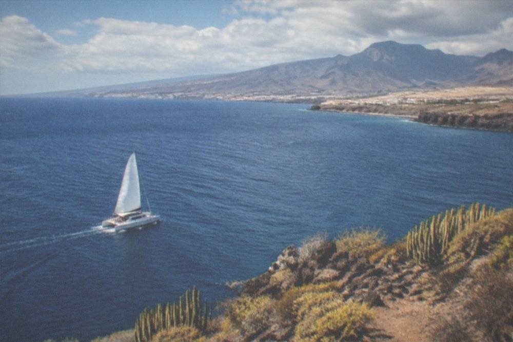
The catamaran trip below is one of the authorised ways to see these animals, with food and transfer included, leaving from the Costa Adeje end of the coast.
How Do You Get to Playa San Juan and Alcala Without a Car?
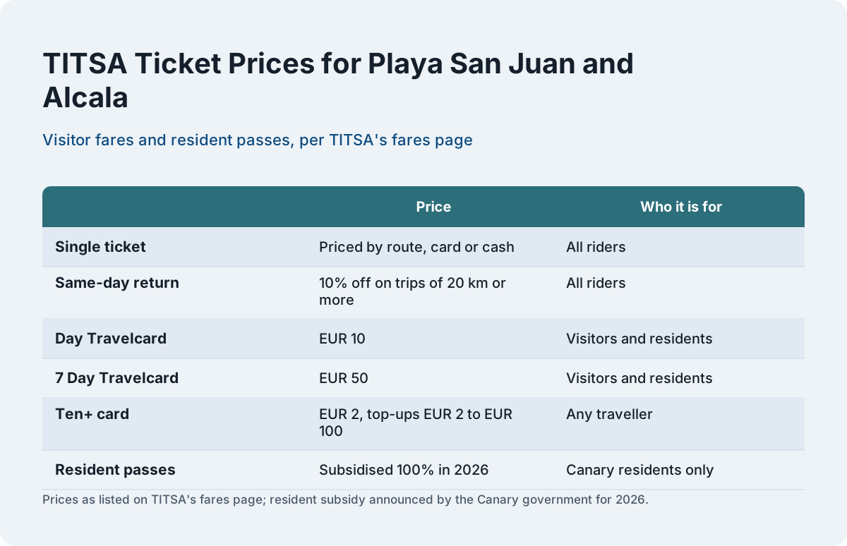
Visitors reach the area on TITSA buses, paying either a single ticket priced by route or one of the visitor travelcards: the EUR 10 day travelcard or the EUR 50 seven-day travelcard, both sold at airport ticket machines. Public transport is not free for visitors; the 2026 one hundred percent subsidy applies to resident passes only, held on a personalised Ten+ card by people resident in the Canary Islands.
The distinction matters because a good deal of outdated copy online claims tourists ride free. TITSA's own fares page lists the visitor products: singles priced by route, the day travelcard at EUR 10, the seven-day travelcard at EUR 50, and the Ten+ card itself at EUR 2 with wallet top-ups from EUR 2 to EUR 100. The resident subsidy, announced by the Canary government for all of 2026, requires residency in the Canary Islands, and the Teide and Teno lines are excluded from the resident passes in any case.
| TITSA product | Price | Who it is for |
|---|---|---|
| Single ticket | Priced by route, card or cash | All riders |
| Same-day return | 10% off on trips of 20 km or more | All riders |
| Day Travelcard | EUR 10 | Visitors and residents |
| 7 Day Travelcard | EUR 50 | Visitors and residents |
| Ten+ card | EUR 2, top-ups EUR 2 to EUR 100 | Any traveller |
| Resident passes | Subsidised 100% in 2026 | Canary residents only |
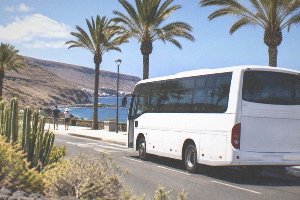
Taxis on the island are white and metered from the start of every trip, according to the tourist board's own transport page, and a fixed price can be agreed in advance for excursions. For readers flying in, the Tenerife South Airport guide covers the bus lines that serve that terminal, and the wider getting around Tenerife page puts the buses, tram and taxis side by side.
How Does the Area Compare with Its Neighbours?
Playa San Juan and Alcala sit on the quiet end of a coast that runs from the purpose-built resorts of Costa Adeje and Los Cristianos, through the intermediate bases of Playa Paraiso and Puerto de Santiago, to the cliffs at Los Gigantes, which the tourist board says tower up to 600 m. The further west you go along this shore, the smaller the bases become and the closer the cliffs get, and this pair trades resort nightlife for harbour quiet.
The comparison below uses only what the verified sources state. Sand colour is recorded exactly as the tourist board records it, and where the tourist board gives no description for a beach, none is invented here.
| Base | Character, as the sources describe it | Sand, where the tourist board states it |
|---|---|---|
| Los Cristianos | Ferry port and resort, boats to La Gomera | Not stated in the pack |
| Costa Adeje (El Duque) | Purpose-built resort belt | Grey sand, per the tourist board |
| Playa Paraiso | Small resort base west of Costa Adeje | Not stated in the pack |
| Playa San Juan and Alcala | Fishing harbour villages, quiet | Not stated in the pack |
| Puerto de Santiago | Resort beside the cliffs | Not stated in the pack |
| Los Gigantes | Cliff-base resort, up to 600 m cliffs | Not stated in the pack |
The pattern is simple and it is the area's real selling point: the resorts get smaller and quieter as the coast runs west, and the scenery gets bigger. Readers who want the full spectrum of the island's beaches, from the golden sand the tourist board describes at Las Teresitas and Las Vistas to the black sand at El Bollullo, will find the details on those pages.
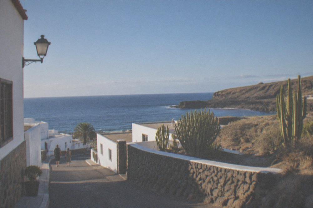
For stays in and around the area, accommodation along this stretch of coast is worth comparing early, because the quiet bases have far fewer beds than the big resorts east of them.
What Is the Weather Like Here Through the Year?
AEMET's 1981 to 2010 normals for Tenerife South Airport, the closest long-record station to this coast, show mean daily highs from 21.7 degrees Celsius in January to 28.4 degrees in August, with rain concentrated between October and February and July recording no rain days at all in the series. The south coast is markedly drier than the north of the island, which is why this shore, not Puerto de la Cruz, became the resort belt.
The table gives the shape of the year at the airport station, 64 m above sea level.
| Month | Mean daily max | Mean daily min | Rain mm | Sunshine hours |
|---|---|---|---|---|
| Jan | 21.7 C | 15.2 C | 17 | 193 |
| Feb | 22.0 C | 15.0 C | 20 | 195 |
| Mar | 23.1 C | 15.6 C | 15 | 226 |
| Apr | 23.1 C | 16.0 C | 7 | 219 |
| May | 23.9 C | 17.0 C | 1 | 246 |
| Jun | 25.4 C | 18.8 C | 0 | 259 |
| Jul | 27.7 C | 20.2 C | 0 | 295 |
| Aug | 28.4 C | 21.1 C | 1 | 277 |
| Sep | 27.9 C | 21.1 C | 4 | 213 |
| Oct | 26.8 C | 20.0 C | 12 | 214 |
| Nov | 24.8 C | 18.2 C | 26 | 193 |
| Dec | 22.8 C | 16.5 C | 30 | 195 |
AEMET publishes the annual figure for this station as 132 mm of rain on 15.2 days with one millimetre or more. Compare that with Tenerife North Airport, which records 520 mm on 64 such days, and the reason the south holds the resorts is obvious from the numbers alone.
What Can You Do from Here Beyond the Beach?
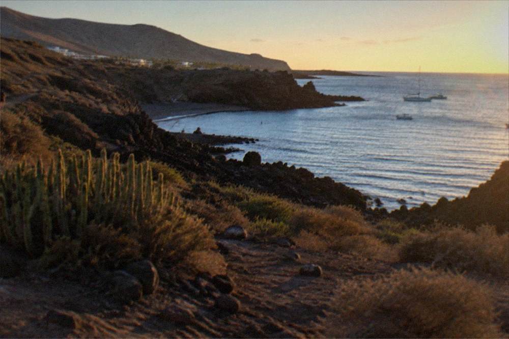
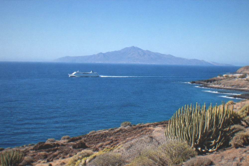
From this stretch of coast the realistic day trips are the whale and dolphin grounds immediately offshore, the Los Gigantes cliffs by boat, the drive up to Teide National Park, which charges no entry fee on any official page read, and the ferry from Los Cristianos to San Sebastian de La Gomera, a crossing Fred. Olsen Express lists at 50 minutes. Siam Park, open 365 days a year, is the big-ticket family option back along the coast.
Teide deserves precision, because much of what is written about it elsewhere is wrong. The national park itself charges no entrance fee on any official page this site has read; the 2026 charges are per-booking public fees on two trails only, PNT 10 and PNT 07, booked on Tenerife ON. The cable car is a separate operator ticket, running from 2,356 m to La Rambleta at 3,555 m, and the summit crater trail is a separate Tenerife ON reservation. The Teide summit permit page carries the full detail.
The ferry table below is Fred. Olsen Express's own published crossing times from Los Cristianos, the port at the eastern end of this coast.
| Route from Los Cristianos | Crossing time |
|---|---|
| San Sebastian de La Gomera | 50 min |
| Santa Cruz de La Palma | 150 min |
| Valverde, El Hierro | 140 min |
Siam Park, back towards Costa Adeje, is open 365 days a year, 10:00 to 18:00 from 1 May to 29 October and 10:00 to 17:00 from 30 October to 30 April, according to its own opening-hours page. Loro Parque's own release records that Tripadvisor awarded it the Travellers' Choice award for best water park in the world for a fifth consecutive year, though later years were not confirmed on the awarding body's page. The entry ticket below is the straightforward way in.
Do You Need a Car If You Stay Here?
A car is useful but not essential: TITSA buses connect this coast to Costa Adeje, Los Cristianos and the airports, visitors pay normal fares or the EUR 10 and EUR 50 travelcards, and taxis are white, metered and easy to find in the resort belt. A car earns its keep for the west-coast viewpoints, the drive up to Teide and the north-coast towns, where bus frequencies thin out and the interesting stops are scattered.
The honest trade-off is frequency against freedom. The bus network along the south coast is the densest on the island, and the Tenerife buses and TITSA guide covers it in full. But the west and the north reward a steering wheel: Garachico, with its natural pools and the 1706 eruption history the tourist board records, and La Orotava above it, are the kind of stops that eat a day by bus and fill a morning by car. The car hire in Tenerife and driving in Tenerife pages cover the practicalities, and the do you need a car in Tenerife answer gives the short version.
One rule to carry if you do drive: the general legal drink-drive limit the DGT's own page refers to is 0.5 g/l in blood, and on an island of hairpin mountain roads that number is worth respecting with a zero of your own.
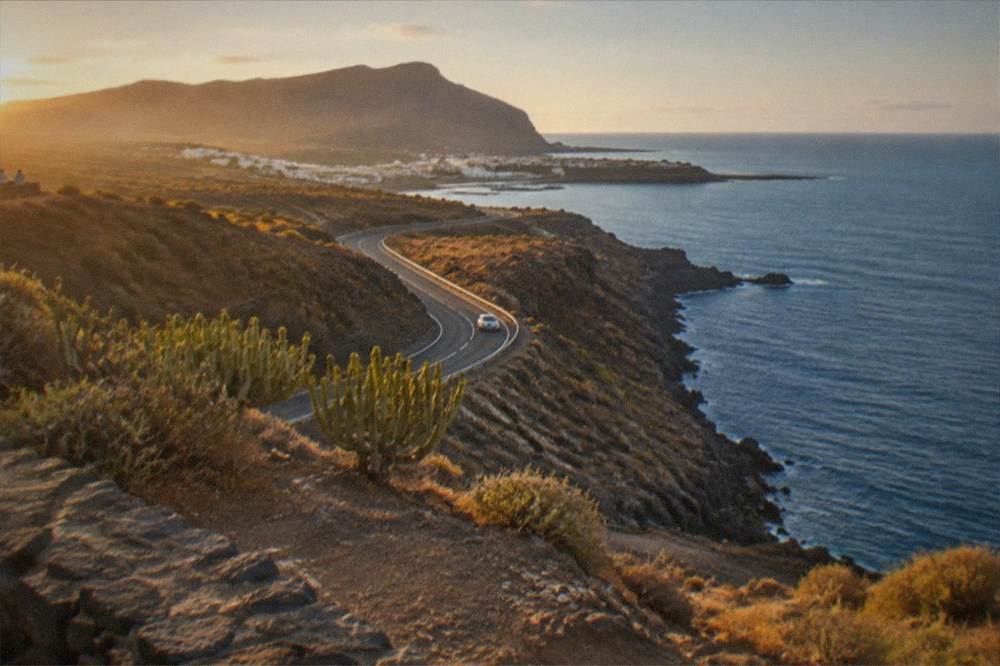
For a final look at how the year shapes up for a visit, the chart below plots the monthly sea surface temperatures from NOAA's 1991 to 2020 south-coast dataset against AEMET's 1981 to 2010 rainfall at Tenerife South Airport, the two series that between them decide when this coast is at its best.
Before the closing questions, here are the three trips that fit this coast best, gathered in one place.
Common Questions About Playa San Juan and Alcala
Is Playa San Juan good for swimming?
The sea off the south coast stays between 19.1 and 23.7 degrees Celsius across the year in NOAA's 1991 to 2020 dataset, so swimming is possible in every month. The tourist board's beach descriptions cover the named resort beaches rather than this village bay, so this site states no sand colour or water-quality claim for it that no official source records.
Can you see whales from Playa San Juan and Alcala?
The boats that watch them leave from harbours along this coast, and the animals live here: the World Cetacean Alliance records a resident pilot whale population and bottlenose dolphins in the Tenerife-La Gomera Marine Area, designated a Whale Heritage Area in January 2021. From the shore, sightings are a matter of luck rather than a promise, so the reliable way is an authorised boat flying the Barco Azul flag.
How far is Playa San Juan from the airport?
Tenerife South Airport is the nearer of the island's two airports, and TITSA buses serve it with lines 10, 40, 711, 343 and 415, per the operator's own airport page. No journey time is printed here because none was measured on an official timetable this site holds; the bus and transfer guides carry the planning detail.
Is there a tourist tax on Tenerife?
No official page read shows a per-night lodging tax in force or approved on Tenerife. The charges that do exist are per-booking fees on specific trails: the Teide trails PNT 10 and PNT 07 from 19 January 2026, the Masca gorge ticket at EUR 40.66 general, and the Barranco del Infierno ticket at EUR 15 for non-resident adults.
Is Playa San Juan quieter than Costa Adeje?
Yes, by scale: Costa Adeje sits in the municipality of Adeje, which the INE register puts at 50,021 people, and it is the island's purpose-built resort belt, while the villages west of it along this coast are smaller bases with fewer beds and less nightlife. The trade-off is fewer restaurants and excursions on the doorstep, which is what the stays comparison along the coast page works through.
What is the best month to visit?
By the numbers, September and October pair the warmest sea, 23.7 degrees Celsius in both months in NOAA's dataset, with the post-summer drop in arrivals: ISTAC's by-air series records 551,175 tourists in September 2024 and 617,714 in October 2024, against 603,529 in August. May is the sweet spot for walkers, with just 1 mm of rain at the south-coast station.