Tenerife Map: Resorts, Airports and Attractions
Tenerife is the largest of the Canary Islands, a Spanish archipelago in the Atlantic Ocean, and it packs two airports, a 3,715 m volcano and dozens of resort bases into roughly 2,000 square kilometres of coastline, ravine and laurel forest. This guide sets out where everything sits on the island's map, from the ferry terminals of Los Cristianos to the observatory ridge at Izana, using only figures the official sources publish.
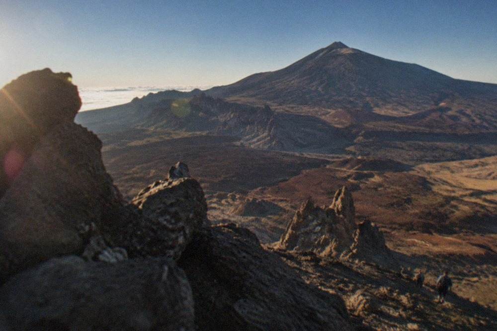
Short answer
Tenerife lies in the Atlantic Ocean as part of the Canary Islands, an autonomous community of Spain, with Santa Cruz de Tenerife as its joint capital. The island has two AENA airports, Tenerife Sur in the south and Tenerife Norte-Ciudad de La Laguna in the north, and its main resort bases cluster along the south and west coasts while Teide National Park occupies the high centre.
Tenerife is the most populous island of the Canary Islands, an autonomous community of Spain, with about 960,000 registered residents spread across 31 municipalities. Santa Cruz de Tenerife, home to 211,957 of them according to the INE municipal register, shares the role of regional capital with Las Palmas de Gran Canaria. The island holds Spain's highest peak on land, Mount Teide at 3,715 m in the Spanish state's own figures, and a national park that UNESCO inscribed as World Heritage on 2 July 2007. For a page organised around where things actually are, this guide from the Tenerife Travel Guide desk walks the island's map from its airports to its summit trails, using only the figures the official sources publish.
Where Is Tenerife on the Map of Spain?
Tenerife belongs to the Canary Islands, an autonomous community of Spain located in the Atlantic Ocean, and Santa Cruz de Tenerife is one of the two regional capitals. The island is Spain's most populous, with about 960,000 registered residents across 31 municipalities, and it holds the highest peak on Spanish soil, Mount Teide, at 3,715 m in the figures published by MITECO and Turismo de Tenerife.
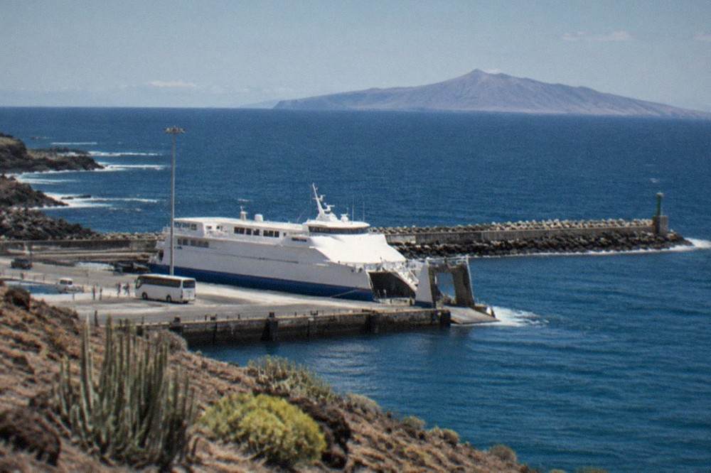
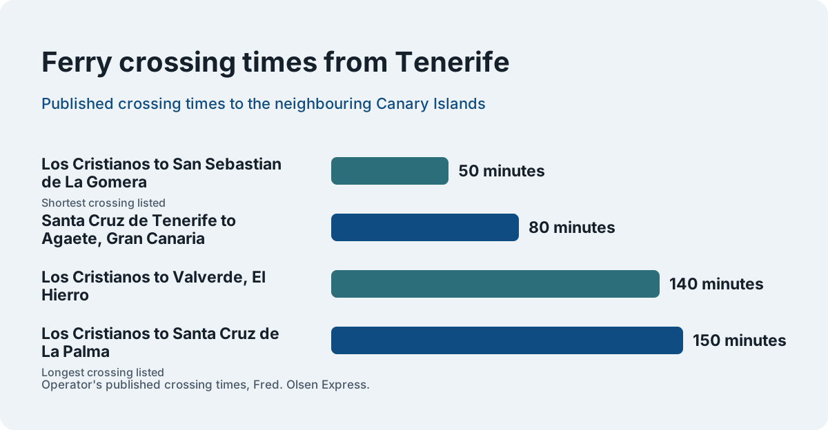
The Canary Islands sit far from the Iberian Peninsula, and Tenerife's position within the archipelago explains most of its ferry connections. Fred. Olsen Express lists the crossing from Los Cristianos to San Sebastian de La Gomera at 50 minutes, the crossing to Santa Cruz de La Palma at 150 minutes and the crossing to Valverde on El Hierro at 140 minutes. From the island's other port, Santa Cruz de Tenerife, the crossing to Agaete on Gran Canaria takes 80 minutes. Those routes, published by the operator itself, are the practical expression of the island's place on the map: Tenerife is the hub at the centre of the western Canaries.
Spain administers the archipelago as an autonomous community with two provincial capitals, and the island's own institutions are the Cabildo de Tenerife and its 31 municipal councils. The largest of those councils after Santa Cruz are La Laguna with 161,108 residents, Arona with 87,793, Granadilla de Abona with 58,752, Adeje with 50,021 and Puerto de la Cruz with 31,137. If a map of Spain is drawn to scale, the Canaries appear in an inset box in the Atlantic, and Tenerife is the island at the centre of that inset.
| Island fact | Figure | Source |
|---|---|---|
| Population, 1 January 2025 | about 960,000 (sum of 31 municipal registers) | INE |
| Number of municipalities | 31 | INE |
| Largest municipality | Santa Cruz de Tenerife, 211,957 | INE |
| Highest peak | Mount Teide, 3,715 m (3,718 m in UNESCO's figure) | MITECO, Turismo de Tenerife, UNESCO |
| National park area | 18,990 ha, plus a 7,374.32 ha peripheral protection zone | MITECO |
| National park visitors, 2024 | 5,242,653, the most visited park in Spain's network | MITECO |
The island's scale matters for planning more than most visitors expect. A single figure makes the point: 5,242,653 people visited Teide National Park in 2024, more than any other park in Spain's national park network, which logged 16,006,242 visits in total that year. The mountain at the centre of the map is not a side trip for most holidaymakers, it is the single most visited protected landscape in the country.
Where Is Tenerife on a World Map?
On a world map Tenerife sits in the eastern Atlantic Ocean, among the Canary Islands, which belong to Spain and therefore to the European Union's outermost region system. The island's sea links define its position: 50 minutes by ferry from La Gomera, 80 minutes from Gran Canaria and 150 minutes from La Palma, all published by the operator Fred. Olsen Express.
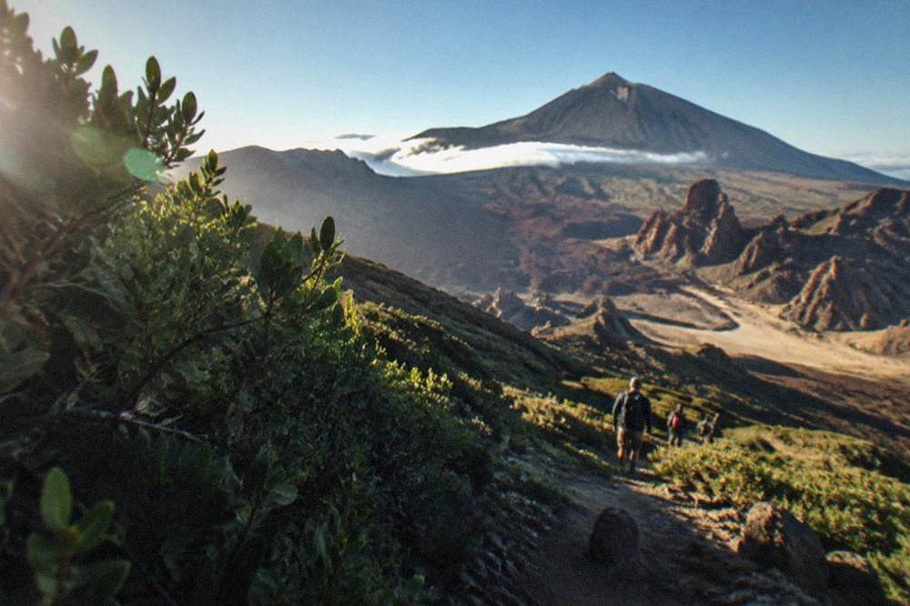
The archipelago's position gives Tenerife two climate personalities that a flat map conceals. AEMET's climate normals show the south coast, measured at Tenerife South Airport at 64 m, receiving 132 mm of rain across the year on 15.2 days with a millimetre or more, while Tenerife North Airport at 632 m receives 520 mm across 64 such days. The trade winds and the island's central massif split the map in two: green and cooler north, dry and sunnier south. The sea itself warms from 19.1 C in March to 23.7 C in September and October, in the NOAA's 1991-2020 figures.
Being in the EU's Schengen area shapes the arrival experience for British and American travellers. The EU's Entry/Exit System started on 12 October 2025 and has been fully operational since 10 April 2026, registering non-EU visitors with a facial image and fingerprints instead of a passport stamp. ETIAS, the travel authorisation that will eventually apply to visa-exempt visitors, is, in the EU's own words, "currently not in operation and no applications for travel authorisations are collected at this point", and its fee has been set at EUR 20. No start date has been announced, so none belongs on a map page or anywhere else.
The island's tourist economy is genuinely international, and the tourist board's 2025 balance records the source markets for tourists lodged in hotels and apartments: the United Kingdom first with 2,057,896, or 37.8 per cent, then mainland Spain with 1,068,407, Germany with 442,958 and France with 223,159. Ireland sent 220,066, up 11.1 per cent on the year. Those visitors reached the island through 34 markets and 159 airports, in the tourist board's air connectivity figure for 2025.
| Ferry route | Operator's published crossing time |
|---|---|
| Los Cristianos to San Sebastian de La Gomera | 50 minutes |
| Los Cristianos to Santa Cruz de La Palma | 150 minutes |
| Los Cristianos to Valverde, El Hierro | 140 minutes |
| Santa Cruz de Tenerife to Agaete, Gran Canaria | 80 minutes |
Which of Tenerife's Two Airports Is on Your Ticket?
Tenerife has two AENA airports: Tenerife Sur (TFS) in the south, also known as Reina Sofia, which handled 13,969,678 passengers in 2025, an all-time record, and Tenerife Norte-Ciudad de La Laguna (TFN) in the north, also known as Los Rodeos, which handled 7,174,977. TITSA buses serve both, with lines 10, 40, 711, 343 and 415 at the south and lines 20, 30 and 343 at the north.
Which airport appears on a booking depends on the resort: most package flights from Britain and northern Europe land at Tenerife South, close to the resorts of Costa Adeje, Los Cristianos and Playa de las Americas, while domestic Spanish flights and some international services use Tenerife North, near La Laguna and Puerto de la Cruz. The decision matters enough that this site keeps a full comparison at Which Tenerife Airport Should You Fly Into?, and a broader look at the trade-offs in Tenerife North vs South.
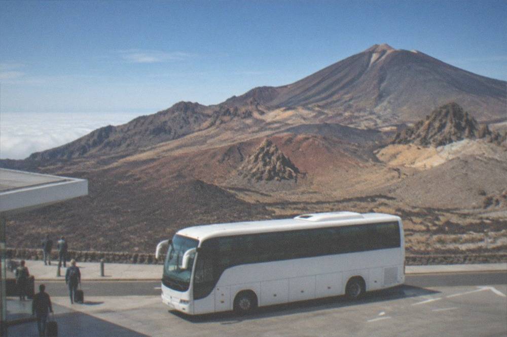
The bus lines, listed by TITSA's own airport pages, are worth knowing before landing. At Tenerife South, line 10 runs to Santa Cruz, line 40 to the Costa Adeje bus station via Los Cristianos, line 711 is the night service linking Santa Cruz, the airport, Los Cristianos and Costa Adeje, line 343 is the express between Puerto de la Cruz and Los Cristianos serving both airports, and line 415 runs to El Fraile and San Isidro. At Tenerife North, line 20 runs to Santa Cruz via La Laguna, line 30 to Puerto de la Cruz, and line 343 provides the express link south. There is no tram connection to either airport.
| Airport | AENA's official name | 2025 passengers | TITSA lines |
|---|---|---|---|
| TFS | Tenerife Sur | 13,969,678 | 10, 40, 711, 343, 415 |
| TFN | Tenerife Norte-Ciudad de La Laguna | 7,174,977 | 20, 30, 343 |
Whichever airport you use, the island's road network funnels everything along the TF-1 motorway in the south and the TF-5 in the north, and the two meet near Santa Cruz. Full transfer options, including car hire and taxi rules, are covered in the Getting Around Tenerife guide, and the bus network in detail in Tenerife Buses: The TITSA Network.
Where Do the Resorts Sit on the Map?
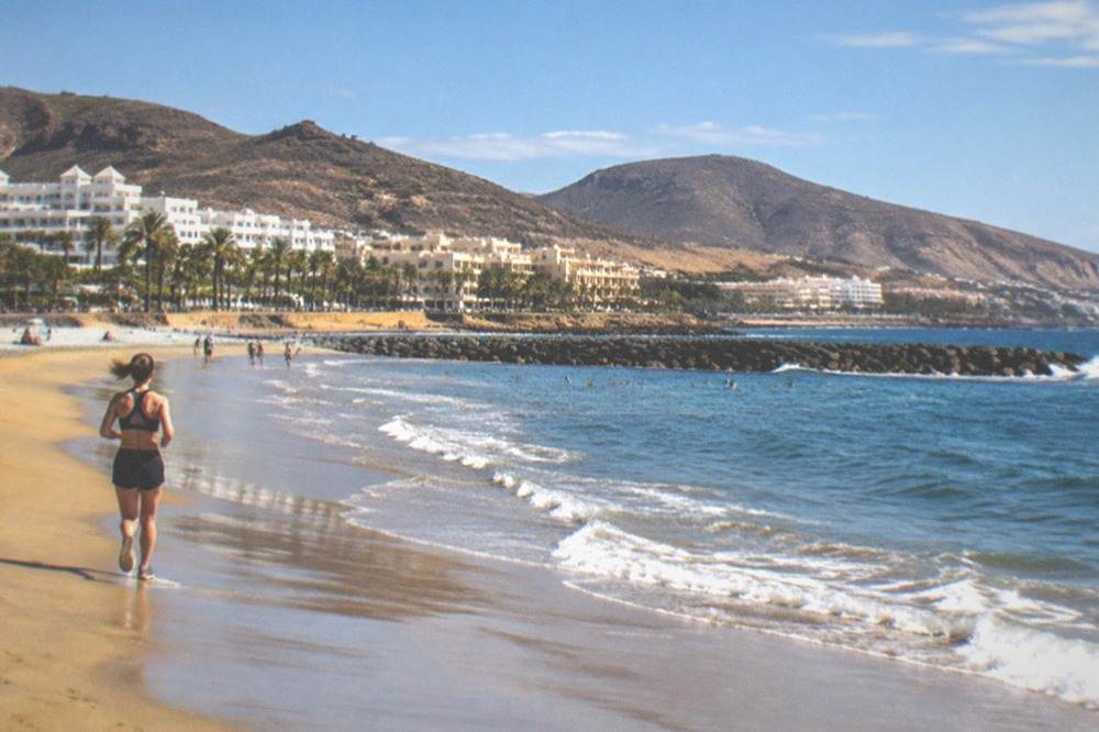
The main resort bases cluster along Tenerife's south and west coasts, in the municipalities of Adeje and Arona, with Costa Adeje and El Duque in Adeje, Las Vistas in Arona and Los Gigantes in Santiago del Teide. The north's established resort is Puerto de la Cruz, and the capital, Santa Cruz de Tenerife, sits on the north-east corner with its city beach, Las Teresitas, at San Andres.
The tourist board's own pages place each base precisely, and the municipal boundaries surprise people: the beaches that feel like one continuous resort strip actually sit in different councils. El Medano belongs to Granadilla de Abona, the same municipality as Tenerife South Airport. El Bollullo, the black-sand beach at the foot of a cliff, belongs to La Orotava. Knowing the municipality matters for things like local bus routes and market days, and the placement explains why a single "Costa Adeje" hotel address can be a long way from the beach of the same name.
| Base or beach | Municipality | What the tourist board says about it |
|---|---|---|
| Costa Adeje and El Duque | Adeje | El Duque is a grey sandy beach |
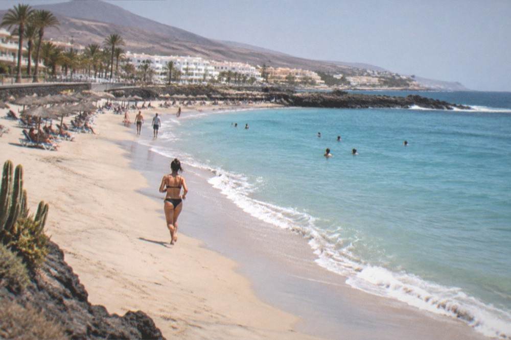
| Las Vistas | Arona | Golden sand, calm behind a row of breakwaters |
| Fanabe | Adeje | Pale sand |
| El Medano | Granadilla de Abona | Fine grey sand, under Montana Roja |
| Los Gigantes | Santiago del Teide | Base for the cliffs, inside Teno Rural Park |
| Las Teresitas | Santa Cruz (San Andres) | Golden sand, palm trees, breakwaters that calm the water |
| El Bollullo | La Orotava | Black sand at the foot of a cliff |
Families weighing one base against another will find the trade-offs set out in The Best Area for Families in Tenerife, and travellers with mobility needs in Accessible Tenerife. The south-west corner has one more draw that the map only hints at: the sea between Tenerife and La Gomera is a Special Area of Conservation holding what the World Cetacean Alliance calls a unique resident population of pilot whales, and the whale watching fleet sails from Los Cristianos, Puerto Colon and Los Gigantes.
How Do the Attractions Fit on the Island's Map?
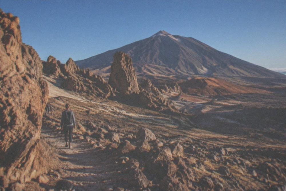
Teide National Park occupies the island's high centre, with the cable car running from a base station at 2,356 m to La Rambleta at 3,555 m, while the summit trail needs a separate permit booked through Tenerife ON. Los Gigantes rises up to 600 m on the west coast, the Anaga massif holds the laurel forest in the north-east, and the big paid attractions, Siam Park and Loro Parque, sit at opposite ends: Costa Adeje in the south and Puerto de la Cruz in the north.
The mountain is not one thing but three, and the map reflects that split. Driving through the national park costs nothing and no page read lists an entry fee for it. The cable car is an operator ticket, with 2026 return fares listed from EUR 42.00 for non-resident adults and EUR 21 for children aged 3 to 13, and the operator refuses anyone with cardiovascular conditions, pregnant women and children under 3. The crater trail, PNT 10 Telesforo Bravo, is a personal reservation on Tenerife ON: since Monday 19 January 2026 the 09:00 to 17:00 slots cost EUR 15 for visitors, EUR 6 for residents of the other Canary Islands and nothing for Tenerife residents and children. A new week of slots opens every Monday at 07:00 Canary time, keeping 56 days bookable. The full permit process is laid out in How to Get the Teide Summit Permit.
The island's other headline sights spread across every corner of the map. In the north, Icod de los Vinos holds the Drago Milenario, a National Monument since 1917, about 21 m tall, with an age the council puts at approximately 1,000 years and the tourist board at over 800, so honest copy says 800 to 1,000 years as an estimate. Garachico, on the north-west coast, was the island's trade hub in the 16th and 17th centuries until the Trevejo volcano erupted in 1706 and buried its old port. In the north-east, Anaga Rural Park holds the laurel forest, and its most famous corner, the El Pijaral integral nature reserve on trail PRA 72, needs a Tenerife ON reservation released on Mondays at 07:00, bookable at most 14 days ahead, with organised company tours not permitted there at all.
The two big paid parks anchor the two tourist zones. Siam Park in Costa Adeje opens 365 days a year, 10:00 to 18:00 from 1 May to 29 Oct and 10:00 to 17:00 from 30 Oct to 30 Apr. Loro Parque in Puerto de la Cruz runs 09:30 to 17:30 every day of the year, with its own car park at EUR 7 per day. A twin ticket covering both exists, and since they sit at opposite ends of the island's map, it suits visitors staying a week or more, or those with a hire car.
The capital's own sights cluster usefully. The Auditorio de Tenerife, designed by Santiago Calatrava and inaugurated in 2003, stands on the Santa Cruz waterfront, its 23,000 square metres wrapped in white trencadis. The Basilica of Candelaria, dedicated to the patron saint of the archipelago, lies a short way along the east coast, built in 1959 with a 45 m tower. And the island's third great draw, the night sky, sits above the whole map: the Fundacion Starlight lists El Teide as a Starlight Tourist Destination and the Cumbres de Tenerife as a Starlight Reserve, both since October 2013, with the Teide Observatory at Izana, about 2,400 m up, open only for guided visits by prior reservation.
What Does the Map Mean for Getting Around?
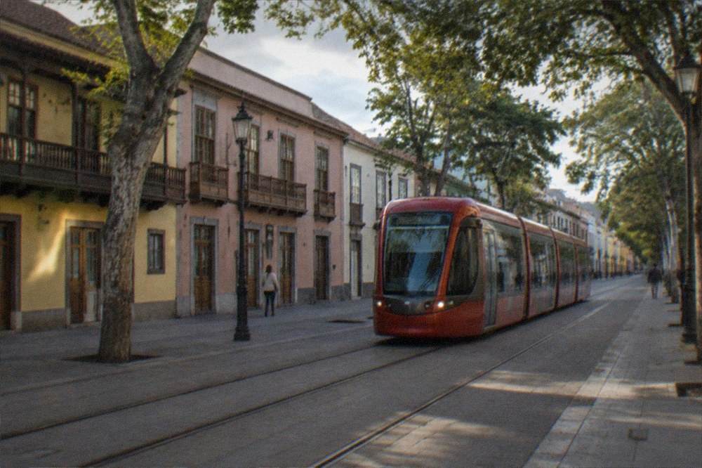
TITSA buses and the Santa Cruz to La Laguna tram carry visitors between the island's regions, and visitors pay for both: single tickets are priced by route, the day travelcard costs EUR 10, the seven-day travelcard EUR 50 and a tram single is EUR 1.35 on a transit pass or EUR 1.10 by mobile. The 2026 free transport subsidy applies only to resident passes, so no visitor qualifies.
The resident-only rule is the single most repeated error in other guides, so it deserves plain words. The Canary government's 100 per cent subsidy on passes and multi-trip tickets, in force since 1 January 2026 under Real Decreto-ley 17/2025 and reaffirmed on 15 June 2026, requires residency in the Canary Islands and a personalised Ten+ card. Visitors buy single tickets, the EUR 10 day travelcard or the EUR 50 seven-day travelcard, all sold at airport ticket machines, and the Ten+ card itself costs EUR 2 with wallet top-ups from EUR 2 to EUR 100. Two lines sit outside the resident passes entirely: the Teide and Teno lines.
| Ticket | Price | Who it is for |
|---|---|---|
| TITSA single ticket | Priced by route, card or cash | Everyone |
| TITSA same-day return | 10% off on trips of 20 km or more | Everyone |
| Day Travelcard | EUR 10 | Visitors and residents alike |
| 7 Day Travelcard | EUR 50 | Visitors and residents alike |
| Ten+ card | EUR 2, top-ups EUR 2 to EUR 100 | Anyone; the free 2026 pass needs the resident version |
| Tram single | EUR 1.35 on a transit pass, EUR 1.10 by mobile | Everyone |
Taxis are white and metered from the start of every trip, with a fixed price agreed in advance possible for excursions, and adapted eurotaxis exist. Car hire opens the rest of the map, the Anaga roads, the Masca viewpoint road and the west coast, and the practicalities, driving rules and road numbering are covered in Driving in Tenerife and Car Hire in Tenerife. For a holiday built on the south coast's beaches, buses and a couple of booked excursions cover most of it, and the full case either way is in Do You Need a Car in Tenerife?.
How Does the Weather Change Across the Map?
Tenerife's weather splits by altitude and by side of the island: AEMET's normals show the south coast averaging 24 C in July with zero rain days, the north coast receiving 520 mm of rain across 64 days a year, and the Teide ridge at Izana, 2,369 m up, averaging just 4.3 C in January with mean daily maxima of 7.5 C. The same island can hold a beach day and a freezing summit on the same afternoon.
The numbers are worth seeing side by side, because most visitors plan one wardrobe for one island. AEMET's station at Tenerife South Airport records July and August with no rain days at all and mean daily maxima of 27.7 C and 28.4 C, while November and December carry 26 mm and 30 mm of rain. The sea off the south coast, in NOAA's 1991-2020 series, peaks at 23.7 C in September and October and bottoms at 19.1 C in March. Up at Izana, the observatory ridge, January brings 47 mm of rain, a mean of 4.3 C and 226 hours of sunshine, and the winter months can require crampons and an ice axe on the stratovolcano trails, which Tenerife ON adds to the mandatory equipment list when ice and snow arrive.
| Month | South coast mean daily max (C) | Rain days (south) | Izana mean (C) | Sea surface (C) |
|---|---|---|---|---|
| Jan | 21.7 | 1.8 | 4.3 | 19.9 |
| Mar | 23.1 | 1.9 | 6.4 | 19.1 |
| May | 23.9 | 0.3 | 10.1 | 20.2 |
| Jul | 27.7 | 0 | 18.5 | 22.2 |
| Sep | 27.9 | 0.6 | 14.5 | 23.7 |
| Nov | 24.8 | 1.9 | 7.8 | 22.5 |
The month-by-month picture, including Carnival timing and sea temperatures, is expanded in Tenerife Weather by Month, with individual month guides such as Tenerife in October and Tenerife in December for anyone weighing dates.
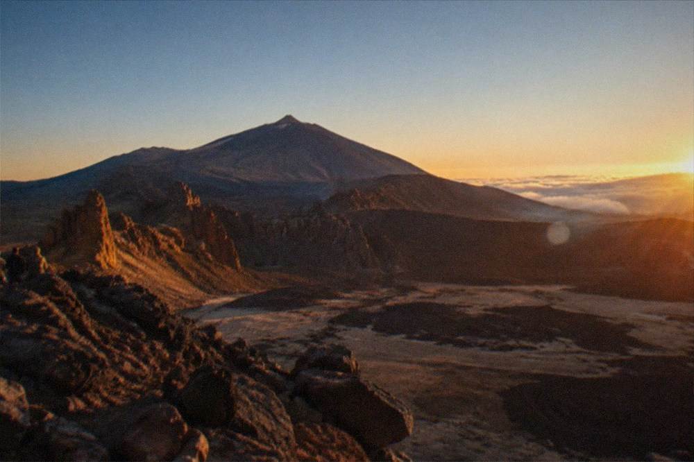
The map's last lesson is seasonal. The south coast is at its busiest when northern Europe is at its coldest, and the summit is at its coldest then too, so a winter itinerary that pairs a morning at El Medano with an afternoon at La Rambleta crosses a bigger temperature range than the flight that brought you. Pack for two climates, check Tenerife ON's alerts before any high-mountain walk, and remember that smoking is banned in every open-air space of the national park, car parks included.
Common Questions About the Tenerife Map
where is tenerife on a map
Tenerife is the largest island of the Canary Islands, a Spanish autonomous community in the Atlantic Ocean, with Santa Cruz de Tenerife as one of the region's two capitals. On most world maps it appears in the Atlantic inset of a map of Spain, west of the African coast and north-west of its neighbour islands.
where is tenerife on the map of spain
On the map of Spain, Tenerife sits in the Atlantic Ocean inset box that shows the Canary Islands, an autonomous community of Spain. The island has about 960,000 registered residents across 31 municipalities, and its highest point, Mount Teide at 3,715 m, is the highest peak on Spanish soil in UNESCO's and MITECO's wording.
where is tenerife on a world map
On a world map, Tenerife lies in the eastern Atlantic among the Canary Islands, politically part of Spain and the European Union. Its position is easiest to place by sea links: 50 minutes by ferry from La Gomera, 80 minutes from Gran Canaria and 150 minutes from La Palma, in the timetables Fred. Olsen Express publishes.
where is tenerife map
The island's map in brief: two airports, Tenerife Sur in the south and Tenerife Norte-Ciudad de La Laguna in the north; the main resorts along the south and west coasts in Adeje, Arona and Santiago del Teide; Puerto de la Cruz in the north; the capital Santa Cruz in the north-east; and Teide National Park covering the high centre.
where is tenerife on the map
Tenerife is in the Atlantic Ocean, the central island of the western Canary Islands, which belong to Spain. The tourist board's 2025 figures show 7,561,659 tourists visiting the island in that year, arriving through 34 markets and 159 airports, so the island's place on the map is well served from most of Europe.