Anaga Rural Park
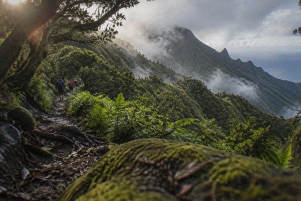
Anaga Rural Park is the wet, green northeast corner of Tenerife, a massif of laurel forest older than the ice ages where one trail, El Pijaral, now requires a reservation and bans commercial tours.
Short answer
Anaga Rural Park is free to enter and most of its trails need no booking. The exception is El Pijaral, the Enchanted Forest, which requires a personal reservation on Tenerife ON, released Mondays at 07:00 Canary time and bookable at most 14 days ahead; organised tours by companies are not permitted there.
Anaga Rural Park occupies the northeast tip of Tenerife, a worn-down massif of laurel forest that the island's own tourist board treats as a landscape apart from the sun-and-beach south. The forest here is laurisilva, a relic of the subtropical woodlands that covered the Mediterranean basin millions of years ago, and the ridges catch the trade winds so persistently that the north face stays damp while the south of the island bakes. The Cabildo de Tenerife, which manages access to the island's protected trails through its Tenerife ON platform, has tightened the rules in recent years: one of Anaga's best-known routes, El Pijaral, now requires a personal reservation, and commercial tour groups are banned from it outright. This page sets out what the park is, what it costs, which trails need a booking and how to plan a day in the greenest corner of the island.
What Is Anaga Rural Park in the Canary Islands?
Anaga Rural Park is a protected rural park covering the Anaga massif at the northeastern tip of Tenerife, the Canary Islands' most populous island. It is a landscape of ancient laurel forest, deep ravines and narrow ridges, managed as protected countryside by the Cabildo de Tenerife, and its trails are administered through the island's official Tenerife ON reservation platform.
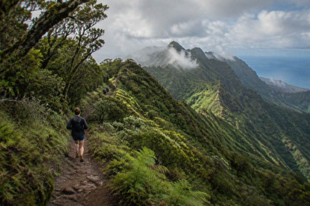
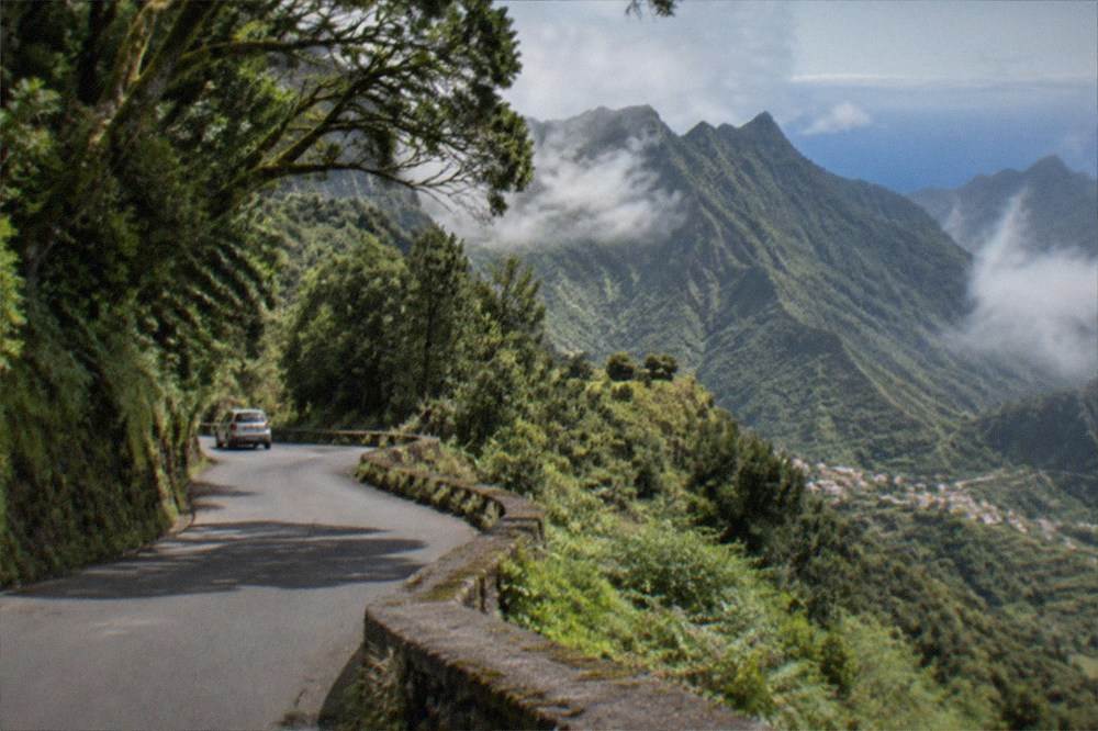
The park sits within the municipality of Santa Cruz de Tenerife and its neighbouring northern councils, close enough to the capital that the city's Santa Cruz residents treat its trailheads as a weekend escape. Geologically the massif is old: the rocks of Anaga predate most of the rest of the island, and millions of years of erosion have carved the original shield volcano into the knife-edge ridges and barrancos that give the park its shape. The laurel forest that clothes the wetter slopes survives because the trade winds push cloud against the ridges and drop moisture on them, a phenomenon locals call horizontal rain, so the trees drink from the air even when no rain falls.
The same cloud that feeds the forest is what a visitor most needs to plan around. Tenerife ON's own guidance for the reservation trails warns that weather conditions can close routes, and the AEMET climate station at Tenerife North Airport, on the massif's western shoulder at 632 m, records 520 mm of rain a year on 64 days with a millimetre or more, against 132 mm on 15 days at the island's south airport. In other words, Anaga gets roughly four times the south's rainfall. A day in the park without a waterproof is a gamble, in any month.
Is Anaga Rural Park Free?
Yes, Anaga Rural Park itself is free to enter, and no page on the Tenerife ON platform lists any entry charge for the park or for most of its trails. The exception is El Pijaral, the Enchanted Forest, where the reservation itself is mandatory: Tenerife ON states the booking window and the rules but marks no fee on the page this site's research read, so treat the reservation as the requirement and check the booking page for any charge before assuming one either way.
The distinction that matters is between the park and the trails. The park is open countryside: you can drive the road from Santa Cruz to Taganana, stop at the viewpoints, eat in Benijo and pay nothing to anybody. The trails are where the rules bite. Tenerife ON's list of spaces requiring prior authorisation names El Pijaral and the La Asomada to Cruz de Afur route, in the Monte Aguirre exclusion zone, as reservation-only, alongside sites elsewhere on the island such as Masca and Barranco del Infierno, which do carry stated fees. Everything else on the platform's trail list falls under a temporary measure: no authorisation or booking needed until 31 December 2026.
That temporary measure is the detail most existing guides miss. It means the majority of Anaga's walking routes are, for now, simply open. The Cabildo's own page for El Pijaral names two permit-free alternatives inside Anaga for walkers who cannot secure a reservation: the Bosque de los Enigmas trail and the Pista de Las Hiedras. Both go through laurel forest, both need no booking, and the Cabildo itself recommends them, which is as close to an official seal of quality as a trail gets on this island.
How to Visit Parque Rural de Anaga?
To visit Parque Rural de Anaga, drive or take a bus from Santa Cruz de Tenerife to one of the trailhead villages, carry a waterproof whatever the forecast, and book a Tenerife ON reservation in advance only if your route is El Pijaral or La Asomada to Cruz de Afur. El Pijaral slots are released every Monday at 07:00 Canary time and can be booked at most 14 days ahead, so the working week before your trip is when the booking has to happen.
The practical sequence looks like this. Pick the route first, because the route decides everything else: El Pijaral needs the reservation, the permit-free trails need nothing but daylight, and the coast at Benijo needs only a car and a lunch booking. Then check the weather on the day, not the week before, because the cloud that makes the forest what it is can also shut the views and soak a walker in an hour. Tenerife ON's guidance for the reservation trails says bookings can be suspended for weather alerts, so a reservation is not a guarantee of a walk either.
For walkers who would rather not handle route choice alone, a guided hike is a legitimate option, and this site carries a vetted one. The product card below covers the Anaga laurisilva with route options and a guide who knows which trailhead is holding cloud and which is clear on a given morning.
Getting there is straightforward by island standards. The TF-1 motorway runs from the south resorts to Santa Cruz, and from the capital the TF-11 and TF-5 roads thread out to the park's trailhead villages. Public transport reaches the area on TITSA buses, and visitors pay normal fares: a single ticket priced by route, the EUR 10 day travelcard or the EUR 50 seven-day travelcard. The 100% fare subsidy the Canary government announced for 2026 applies to resident passes only, so no visitor should plan around free buses. The tram does not serve the park and does not serve either airport; the buses do.
What to pack follows from the climate table below. Even in August, the airport station on Anaga's shoulder records a mean daily minimum of 16.6 Celsius, and rain falls in every month of the year there. Layers, a real waterproof and walking shoes with grip are the baseline; the El Pijaral reservation page also expects walkers to follow the marked trail, and the Cabildo's wildfire measures apply island-wide, including the smoking ban in every open-air space of Teide National Park and equivalent protected areas.
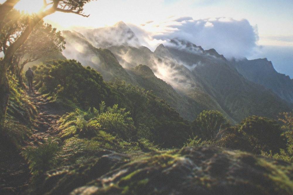
What to See in Anaga, Tenerife?
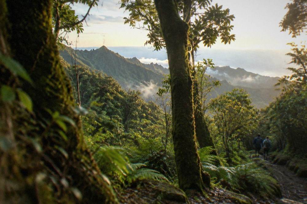
The things to see in Anaga are the laurel forest itself, the ridge viewpoints above Taganana and Benijo, the wild beach at Playa de Benijo, and the reservation-only Enchanted Forest, El Pijaral, whose moss-draped laurel trees are the park's most photographed woodland and the one part that requires a Tenerife ON booking.
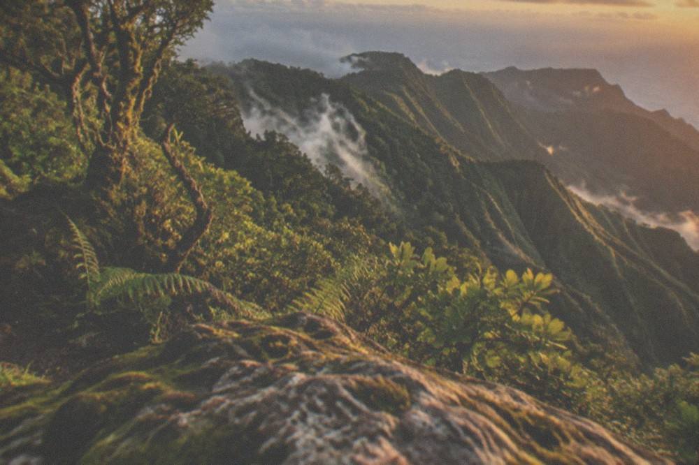
The forest is the headline. Laurisilva is what the Mediterranean basin looked like before the ice ages, and the Canary Islands hold one of the world's largest surviving stands of it; on the wet northern slopes of Anaga the trees are hung with mosses and lichens and the ground stays soft year-round. The Cabildo's two permit-free recommendations, Bosque de los Enigmas and Pista de Las Hiedras, run through exactly this woodland, so a walker who misses out on El Pijaral is not missing the forest, only one loop of it.
The coast is the counterweight. Playa de Benijo is a dark-sand beach at the foot of the massif's northern cliffs, backed by a restaurant strip that the weekend crowd from Santa Cruz treats as a fixture, and the road down to it crosses ridge after ridge with the Atlantic on one side. For a fuller run of the island's coastal drama, the Los Gigantes cliffs on the opposite shoulder of Tenerife tower up to 600 m in the tourist board's words, and Masca sits in its own gorge under a reservation scheme of its own, descent only with a pre-booked boat exit.
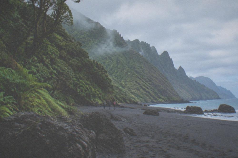
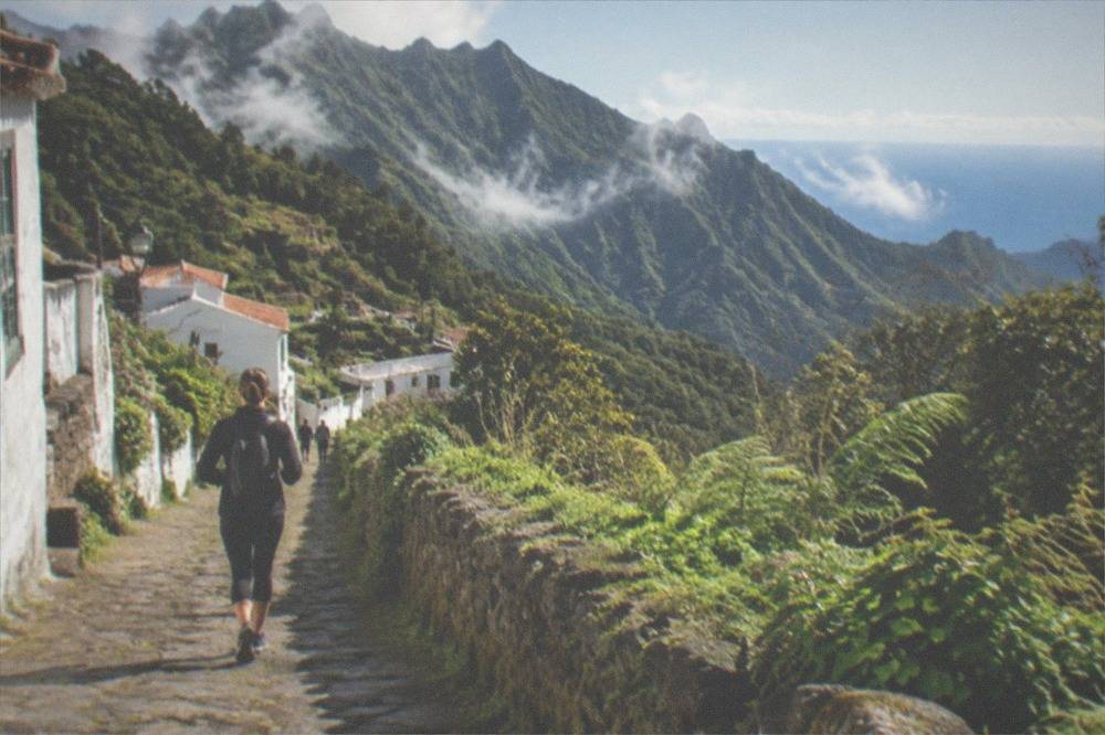
The villages give the day its rhythm. Taganana, Chamorga and Afur are small settlements of whitewashed houses on ledges above the ravines, and the walk between them is as much a part of the park's character as the forest. Chamorga is the trailhead for routes into the northeast corner; Afur sits on the La Asomada to Cruz de Afur path, one of the reservation-only routes, which ends at a small coastal waterfall beach and is worth the booking effort if the weather is settled.
Which Anaga Trails Need a Reservation?
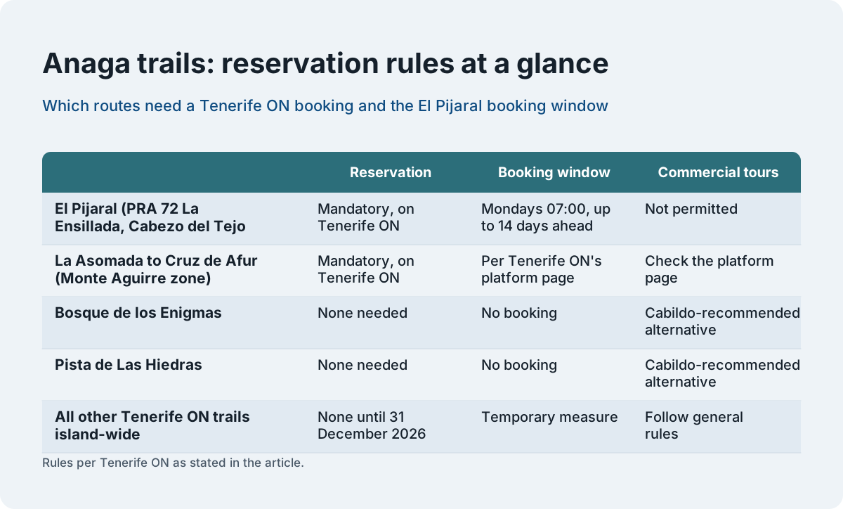
Two Anaga routes need a prior reservation: El Pijaral, trail PRA 72 La Ensillada and the Cabezo del Tejo loop, and the La Asomada to Cruz de Afur trail through the Monte Aguirre exclusion zone. El Pijaral slots are released every Monday at 07:00 Canary time and are bookable at most 14 days ahead, and organised tours run by companies or legal entities are not permitted on it.
The table below sets the reservation routes against the permit-free alternatives the Cabildo itself names.
| Trail or space | Reservation | Booking window | Commercial tours |
|---|---|---|---|
| El Pijaral (PRA 72 La Ensillada, Cabezo del Tejo loop) | Mandatory, on Tenerife ON | Released Mondays 07:00 Canary time, at most 14 days ahead | Not permitted |
| La Asomada to Cruz de Afur (Monte Aguirre exclusion zone) | Mandatory, on Tenerife ON | Per Tenerife ON's platform page | Check the platform page |
| Bosque de los Enigmas | None needed | No booking | Cabildo-recommended alternative |
| Pista de Las Hiedras | None needed | No booking | Cabildo-recommended alternative |
| All other Tenerife ON trails island-wide | None until 31 December 2026 | Temporary measure | Follow general rules |
Two consequences follow from the El Pijaral rules, and both shape how a visitor should plan. First, the 14-day window means the reservation cannot be secured months in advance the way a hotel can; it is a Monday-morning task in the fortnight before the walk. Second, the ban on company-run tours means no operator can sell a reader a ticket into the Enchanted Forest. Any guided hike sold on this site goes to other parts of Anaga, and a page that pretends otherwise is selling something that does not exist. The honest framing is the one Tenerife ON's own page implies: El Pijaral is a personal reservation or nothing. The full index of guides sits on Tenerife Travel Guide.
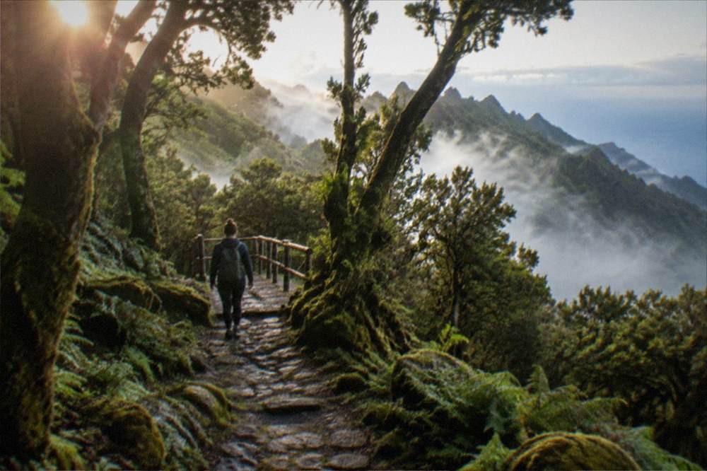
What Is the Weather Like in Anaga?
Anaga is the wettest corner of Tenerife, and the AEMET climate station at Tenerife North Airport, at 632 m on the massif's shoulder, records 520 mm of rain a year on 64 days with a millimetre or more, roughly four times the south airport's 132 mm on 15 days. Rain falls in every month there, and even the driest month, July, still records 6 mm on the annual table.
The figures below are AEMET's 1981 to 2010 normals for the north airport station, the closest long-record station to the park, and they are the honest answer to the question of when to go.
| Month | Mean daily max C | Mean daily min C | Rain mm | Rain days of 1 mm or more | Sunshine hours |
|---|---|---|---|---|---|
| Jan | 16.0 | 10.2 | 80 | 7.7 | 150 |
| Feb | 16.7 | 10.0 | 70 | 7.4 | 168 |
| Mar | 18.2 | 10.7 | 61 | 6.8 | 188 |
| Apr | 18.5 | 10.9 | 39 | 6.2 | 202 |
| May | 20.1 | 12.0 | 19 | 3.8 | 234 |
| Jun | 22.2 | 14.0 | 11 | 2.4 | 237 |
| Jul | 24.7 | 15.7 | 6 | 1.7 | 262 |
| Aug | 25.7 | 16.6 | 5 | 1.1 | 269 |
| Sep | 24.9 | 16.5 | 16 | 2.8 | 213 |
| Oct | 22.5 | 15.2 | 47 | 6.5 | 194 |
| Nov | 19.6 | 13.3 | 81 | 8.3 | 155 |
| Dec | 17.1 | 11.5 | 82 | 8.8 | 137 |
Read against the south coast, the table explains why the island packs such variety into a small space. The same AEMET series gives Santa Cruz a July mean daily maximum of 28.7 Celsius against the north airport's 24.7, and winter rain in the capital at roughly a third of Anaga's shoulder figures. A visitor can sunbathe at Playa de las Teresitas in the morning and walk in cloud above Taganana by early afternoon, and the drive between them takes well under an hour.
The cloud is not a defect, it is the mechanism. The trade winds push moisture against the ridges, the trees condense it, and the forest survives on it. Walkers who want the postcard views should aim for a morning start, because the cloud typically builds through the day; walkers who want the forest at its most atmospheric should accept the grey. Either way, the waterproof goes in the bag.
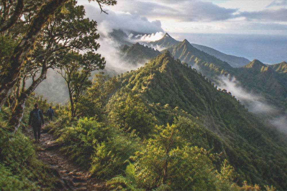
How Do You Get to Anaga Without a Car?
Anaga is reachable by TITSA bus from Santa Cruz de Tenerife, with visitors paying normal fares: a single ticket priced by route, the EUR 10 day travelcard or the EUR 50 seven-day travelcard. The 2026 free-transport subsidy covers resident passes only, and the tram serves neither the park nor either airport, so the bus network is the public option and the fare is the visitor's own.
The honest caveat is that Anaga's bus network is thinner than the south's resort corridors, and the trailhead villages sit at the end of long mountain roads, so timetables need checking on TITSA's own pages for the specific line and day before a car-free plan is fixed. What can be stated from the verified facts is the fare structure and the fact of service: TITSA operates island-wide, its airport pages list the lines at each terminal, and the day travelcard at EUR 10 and the seven-day card at EUR 50 are the visitor products. A same-day return gets 10% off on trips of 20 km or more, which a Santa Cruz to Anaga village run may or may not qualify for depending on the exact route.
For visitors weighing car against bus, the wider trade-offs are laid out in this site's guide to getting around Tenerife, and the case for the car in Anaga specifically is the flexibility: the massif's best stops are scattered along a ridge road where buses are infrequent, and a day that mixes a forest walk with the Benijo coast is far easier on four wheels. Car hire rates are not stated on this page because they move daily; what can be said is that the roads are narrow, frequently wet and occasionally steep, and a small car is the sensible choice.
How Does Anaga Compare with Tenerife's Other Big Days Out?
Anaga is the island's walking and landscape day, free to enter and priced only by transport and lunch, whereas Tenerife's other headline experiences carry fixed official or operator charges: the Teide cable car lists a return ticket at EUR 42 for non-resident adults, the Masca descent costs EUR 40.66 for the general ticket, and the big parks sell their own entry tickets. A visitor choosing between them is choosing between forest, volcano and water.
The comparison table uses only figures this site's research verified on official pages.
| Day out | Entry cost stated on an official page | Booking needed |
|---|---|---|
| Anaga Rural Park, open access | None stated on any page read | Only for El Pijaral and La Asomada to Cruz de Afur |
| Teide cable car, return | EUR 42 non-resident adult, EUR 21 child 3 to 13, shown as price from | Operator ticket |
| Teide summit trail PNT 10, 09:00 to 17:00 slots | EUR 15 visitors, EUR 6 other Canary residents, since 19 January 2026 | Tenerife ON reservation |
| Masca gorge descent | EUR 40.66 general ticket, boat extra | Pre-booked at caminobarrancodemasca.com, boat exit mandatory |
| Barranco del Infierno | EUR 15 non-resident adult | Advance online booking compulsory |
The pattern is worth noticing. Tenerife's paid experiences are the ones with capacity limits and formal control points, and Anaga's free status is real but comes with the same logic applied to its most fragile corner: El Pijaral is reservation-only precisely because the forest cannot absorb unlimited feet. A visitor who resents the booking should recognise it as the same policy that keeps the place worth booking.
For a fuller run through the island's headline attractions, this site's things to do in Tenerife page assembles the whole menu, and the Teide cable car page covers the volcano day in the same sourced detail as this one covers the forest.
Should You Book a Guided Anaga Hike?
A guided hike is worth booking if you want route choice handled for you, because Anaga's trails vary sharply with weather and cloud, and a guide who knows which trailhead is clear on a given morning saves a wasted drive. The reservation-only El Pijaral cannot be included in any company-run tour, since Tenerife ON prohibits organised tours by companies there, so every guided Anaga product on this site walks the permit-free routes.
That last point deserves emphasis because it is where existing guides go wrong. The Enchanted Forest is the most photographed woodland in the park, and the temptation for a tour operator is to imply access. The rule from Tenerife ON's own page is unambiguous: organised tours by companies or legal entities are not permitted on El Pijaral. A guided hike sold for Anaga goes to the open trails, which are genuinely excellent, and a reader should treat any product claiming otherwise with suspicion.
What a guide adds on the open network is local judgement. The full-day Anaga products on this site cover the laurisilva with hotel pickup from the south, which matters because the massif is a long drive from Costa Adeje and Playa de las Americas, and a half-day or private option suits visitors based in Santa Cruz or La Laguna. The card below is the one this page rates first among them.
For visitors who prefer independent walking, the honest advice is to start early, pick one route rather than two, and keep Benijo or Taganana for lunch. The park rewards depth over breadth: a single ridge walk done properly beats three rushed stops, and the cloud that closes in by early afternoon makes the early start non-negotiable for anyone who wants a view as well as a forest.
Common Questions About Anaga Rural Park
Is Anaga Rural Park free?
Yes, the park itself is free to enter and no official page lists any entry charge. Most trails need no booking under a temporary Tenerife ON measure running to 31 December 2026. The exceptions are El Pijaral and the La Asomada to Cruz de Afur route, which require a reservation; Tenerife ON's El Pijaral page marks no fee, so check the booking page for any charge before assuming one either way.
How to visit Parque Rural de Anaga?
Travel from Santa Cruz de Tenerife by car or TITSA bus, carrying a waterproof whatever the forecast, and book a Tenerife ON reservation in advance only if your route is El Pijaral or La Asomada to Cruz de Afur. El Pijaral slots are released every Monday at 07:00 Canary time and can be booked at most 14 days ahead. Visitors pay normal bus fares: the EUR 10 day travelcard or the EUR 50 seven-day travelcard.
What to see in Anaga, Tenerife?
The laurel forest itself, the ridge viewpoints above Taganana and Benijo, the dark-sand beach at Playa de Benijo, and the small whitewashed trailhead villages such as Chamorga and Afur. The reservation-only Enchanted Forest, El Pijaral, is the park's best-known woodland, but the Cabildo names two permit-free laurel-forest alternatives, Bosque de los Enigmas and Pista de Las Hiedras, for walkers without a booking.
What is Anaga Rural Park located in the Canary Islands?
Anaga Rural Park is a protected rural park on the northeastern tip of Tenerife, the most populous of the Canary Islands, within reach of the island's capital Santa Cruz de Tenerife. It is a massif of ancient rocks covered in laurel forest and carved into ridges and ravines, managed by the Cabildo de Tenerife, with trail access administered through the island's official Tenerife ON platform.
Can a tour take me into the Enchanted Forest?
No. Tenerife ON's page for El Pijaral states that organised tours by companies or legal entities are not permitted, so no operator can sell entry to it. The reservation is personal, released every Monday at 07:00 Canary time and bookable at most 14 days ahead. Guided hikes elsewhere in Anaga use the permit-free trails, which include laurel forest the Cabildo itself recommends.
Is Anaga a good choice in winter?
Yes, with the right clothing. AEMET's north airport station records winter mean daily maxima of 16.0 to 16.7 Celsius in January and February, cooler than the south coast but far from cold, though those are also the wettest months, with 70 to 80 mm of rain each. The forest is at its greenest in winter, and the crowds are thinner than in the summer months.